
What is recorded here
Tre-pys-llygod is shown as a mountain / peak on the public map of Conwy. The saved point is the map point or the centre of its mapped shape.
Tre-pys-llygod rises to approximately 460 metres and is part of the rugged terrain of the Eryri (Snowdonia) range. Its name, possibly derived from Welsh words meaning "house of the foxes' tail," reflects local folklore or historical land use; the area is geologically characterised by Ordovician slate. It matters as a minor but distinctive feature in the landscape, valued by walkers and contributing to the natural heritage of North Wales.
This does not grant access. Check current paths, opening conditions and ownership before entering.
Places near here
 Pont yng nghornel y sgwar. Bridge at the corner of SH 8968Heritage place · 991 yd
 MelaiHouse · 1302 yd
 Moel UnbenMountain / peak · 1.1 mi
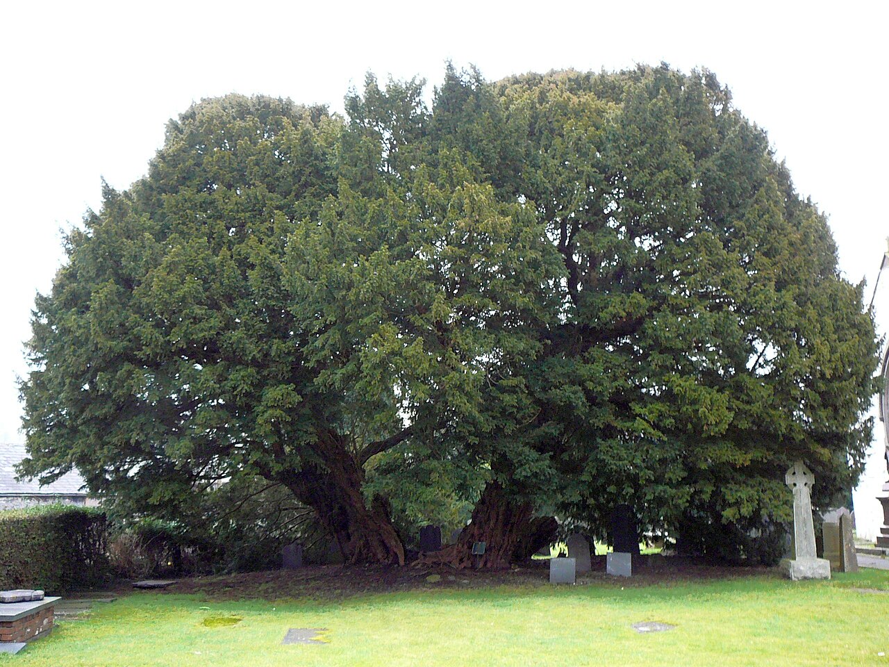 Langernyw YewEuropean Yew · 1.4 mi
 Two Cross-Incised Stones in Llangernyw ChurchyardCross Incised Stone · 1.5 mi
 Moelfre UchafMountain / peak · 1.8 mi
 Mountain pastureMountain or hill · 1.9 mi
 Pen-y-MwdwlCairn · 2.1 mi
 Memorial to TalhaiarnHeritage place · 2.2 mi
 Nant y PlwmWood · 2.7 mi
 War MemorialMemorial · 3.0 mi
 Conwy Castle Visitor CentreCastle · 8.8 mi
Other information
Photo: Jonathan Wilkins · CC BY-SA 2.0