
What is recorded here
Tongue Copse is shown as a wood on the public map of Dorset. The saved point is the map point or the centre of its mapped shape.
This does not grant access. Check current paths, opening conditions and ownership before entering.
Places near here
 Church of St MaryListed building · 947 yd
 The Admiral HoodListed building · 1001 yd
 Old Milestone by the A3066/A356, Turnpike Cross, east of MistertonMonument or public art · 1.2 mi
 Small cave near CrewkerneCave or cavern · 1.4 mi
 Swilletts WoodForest · 1.7 mi
 The memorial, Severals ParkHeritage place · 1.9 mi
 Horn HillMountain / peak · 2.1 mi
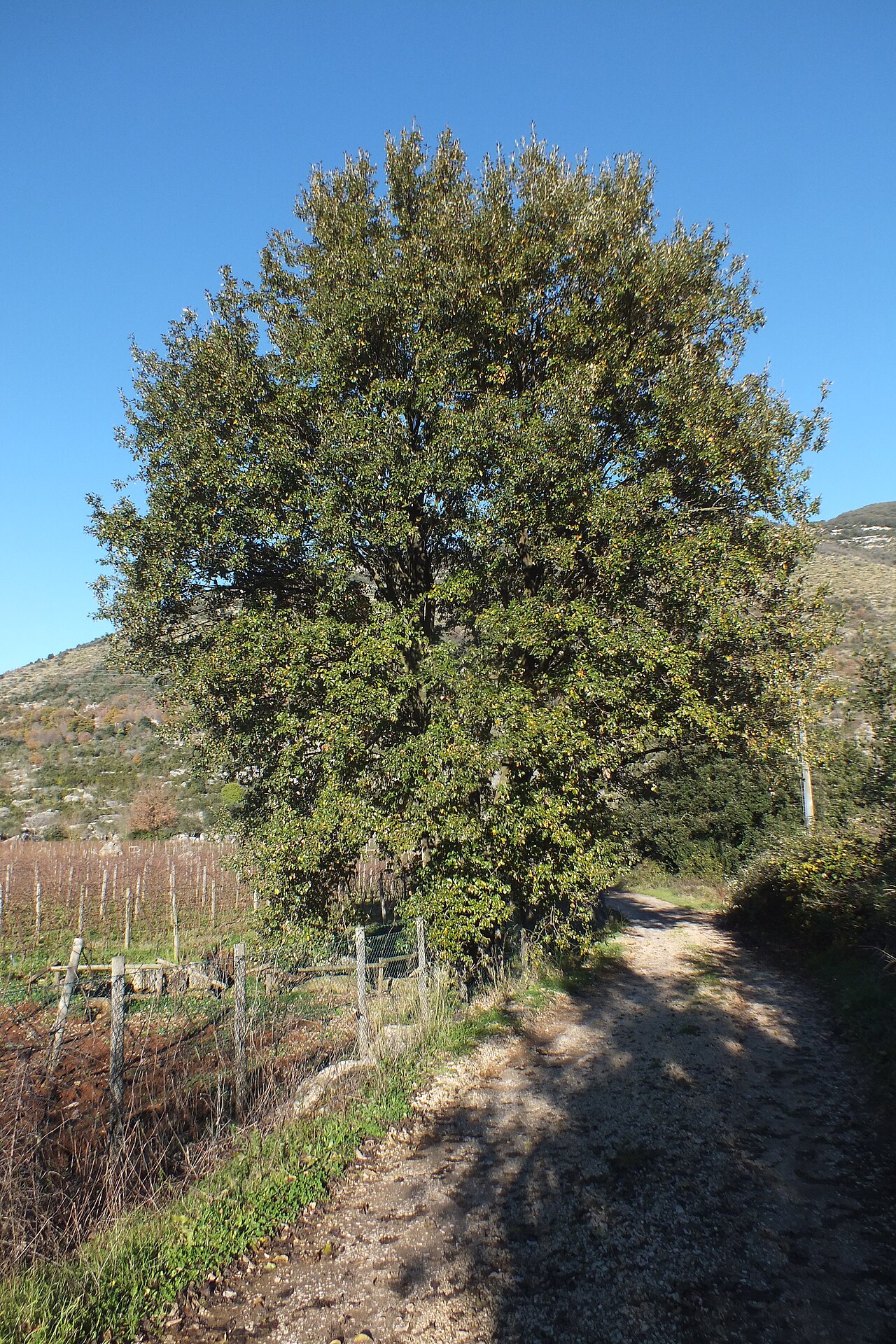 The Crewkerne Lucombe OakLucombe Oak · 2.2 mi
 Buckham DownMountain / peak · 2.3 mi
.jpg?width=1280) Crewkerne MuseumMuseum · 2.3 mi
Crewkerne MuseumMuseum · 2.3 mi Waddon Hill (Roman Fort)Archaeological place · 2.9 mi
 Chart Knolle and Gerrard's HillMountain or hill · 3.0 mi
Other information
Photo: Derek Harper · CC BY-SA 2.0