What is recorded here
No visible tombstone remains in Loughconnelly, but the survey marker still points to the exact centre where one stood when first drawn. The stone has vanished, been buried, or never existed at all, yet the empty coordinates preserve the shape of the forgotten event.
The official Northern Ireland record identifies this as TOMBSTONE (O.S. memoir site; unlocated). Recorded period: UNCERTAIN. The official map point was placed at the centre of the recorded archaeological site from the source map reference.
The monument record does not grant public access. Check the route and ask the landowner before entering private land.
- What survives
- Recorded monument
Places near here
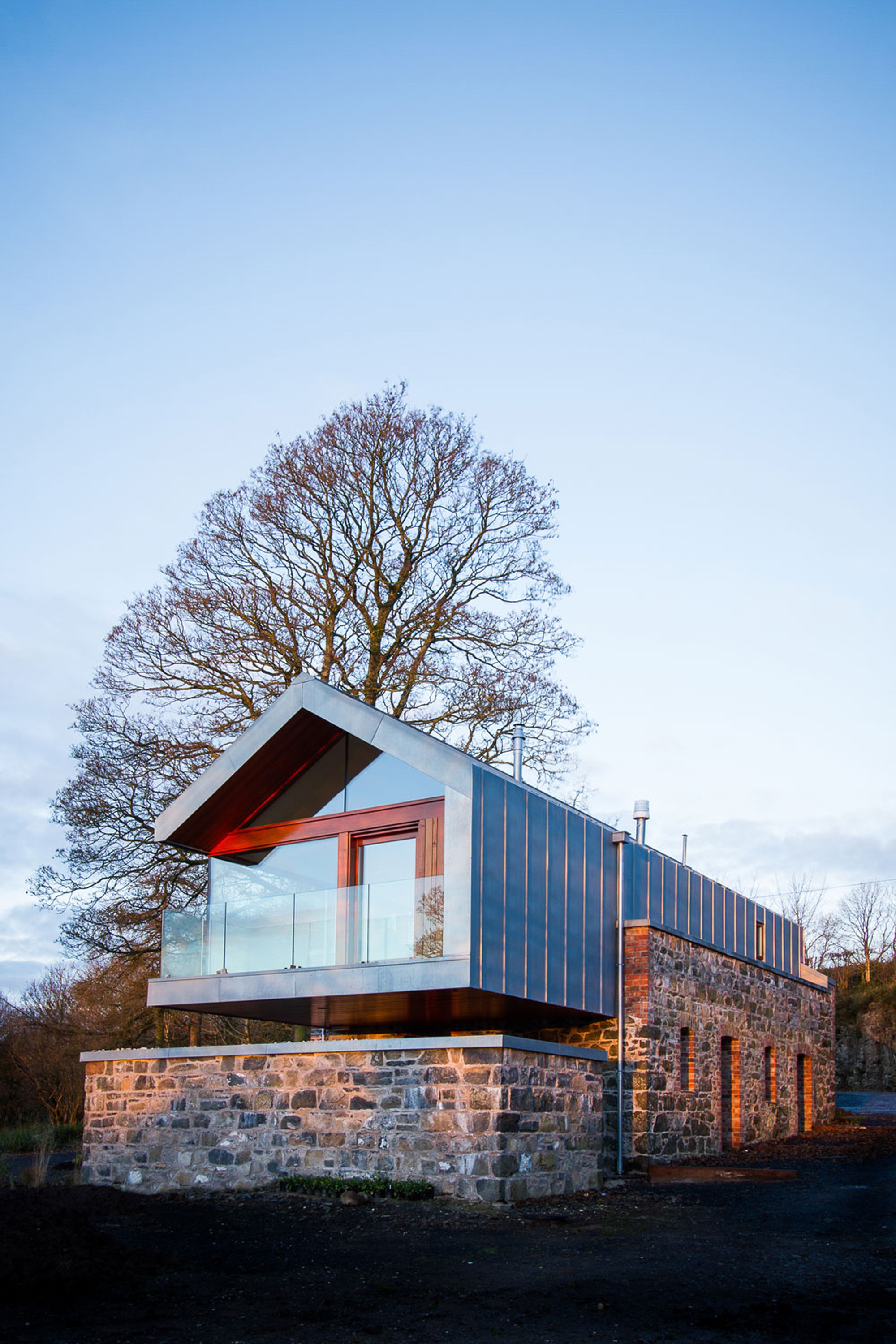 ENCLOSURE in LoughloughanENCLOSURE · 1213 yd
 ENCLOSURE in CreevamoyENCLOSURE · 1.0 mi
 The Thatch InnPublic House · 2.5 mi
 SlemishMountain / peak · 2.5 mi
 CarncormickMountain / peak · 4.1 mi
 CASTLE in CrebillyCASTLE · 4.4 mi
 Mid HillMountain / peak · 4.8 mi
 MOUNDMOUND, CASHEL?: MCQUILLAN'S CASTLE · 5.3 mi
 St. Patrick's ChurchChurch · 5.9 mi
 2025 Northern Ireland riotsriot · 6.1 mi
 Glenarm ForestForest · 7.8 mi
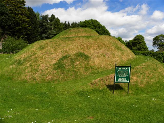 The MountViewpoint · 8.4 mi