What is recorded here
Located on the S side of a crossroad in Aghagower village, immediately outside the wall of a graveyard (MA088-063002-), which encloses a medieval church (MA088-063001-) and round tower (MA088-063003-). The graveyard wall kinks around the well.
The well is named ‘Tobernandeochaun’ on the 1838 and 1929 OS 6-inch maps. On the 1929 edition it is annotated as ‘Site of’, indicating that it was no longer extant or in use by that date. The current structure is a modern reconstruction, and consists of a roughly square sunken area (1m by 1m; D 1m) defined by mortared stone walls, with steps at N leading down to the base of the well.
This well and an adjacent holy well (MA088-063005-) named ‘Dabhach Patrick’ were visited as part of the traditional ‘pattern’ or ritual round of devotions undertaken by pilgrims at Aghagower. John O’Donovan described this well in the 1838 OS Letters as ‘an enclosure called Tobar na nDeochaun, i.e. the well of the drinks, so called because the pilgrims drank of it when performing the Turas, but at present it contains no water.’ (O’Flanagan, 457 (225)).
Compiled by: Jane O'Shaughnessy
Date of upload: 11 December 2020
Tobernandeochaun is associated with Saint Naoise, a lesser-known early Irish saint, and the well was traditionally visited for its supposed healing properties, particularly for skin ailments and eye complaints. The site's proximity to a medieval church and round tower suggests a long-standing religious and spiritual significance in the local community.
The monument record does not grant public access. Check the route and ask the landowner before entering private land.
- What survives
- Recorded monument
Places near here
 Dabhach PatrickHoly well · 16 yd
 Round TowerRound tower · 33 yd
 Abbey in ruinsReligious house, unclassified · 46 yd
 Labba PatrickPenitential station · 71 yd
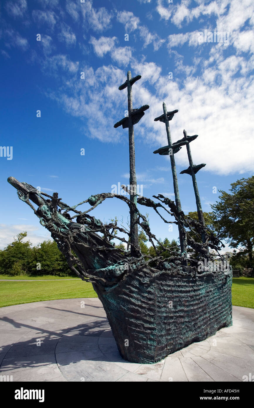 Famine MemorialMemorial · 105 yd
 Carney's Cottage 1863Memorial · 113 yd
 IndicatedBawn · 1.8 mi
 BaldcypressBaldcypress · 3.8 mi
 Brackloon WoodsForest · 3.9 mi
 Pirate QueenHeritage attraction · 4.0 mi
 Clew Bay Heritage CentreMuseum · 4.5 mi
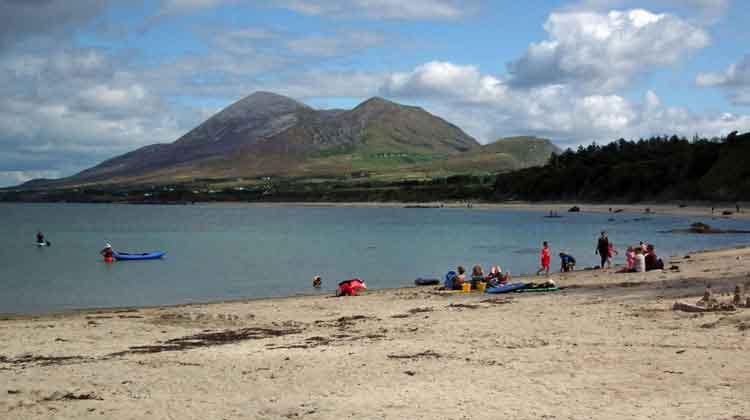 Garvillaun PointHeadland · 4.5 mi