
What is recorded here
Marked on the 1839 and 1925 eds of the OS 6-inch map and described as Tobarnabobaunia in gothic script on both. The name is more properly Tobar na Bó Báine - the white cow's well (pers. comm. C. Ó Crualaoich). It is situated at the bottom of the steep-sided valley of a W-E stream, with the stream c. 5m to the S. It is not visible at ground level in pasture and there is no evidence that it was ever venerated.
Compiled by: Michael Moore
Date of upload: 12 October, 2012
Linked to a tradition involving a white cow, the well is associated with Saint Brigid or a local saintly figure, as its name, Tobar na Bó Báine, suggests a holy well of healing or protection. The site may have been a place of pilgrimage or ritual, with the white cow symbolizing purity or a miraculous sign in local folklore.
The monument record does not grant public access. Check the route and ask the landowner before entering private land.
- What survives
- Recorded monument
Places near here
 Saint Mary's Catholic Churchchurch/chapel · 640 yd
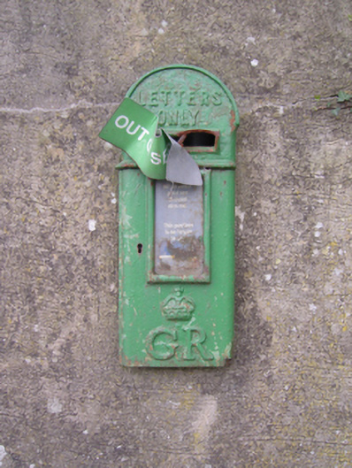 post boxpost box · 651 yd
 IndicatedFairy fort / ringfort · 857 yd
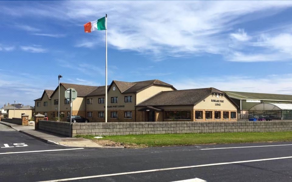 Fulacht fia in Begerin (lloyd)Fulacht fia · 1218 yd
 Site of CastleCastle, unclassified · 1.4 mi
 Lacken HillMountain / peak · 1.5 mi
 Forest Of The DunbrodyForest · 1.7 mi
 Old Ross MoteCastle, motte and bailey · 1.8 mi
 Crutched FriarsMemorial · 3.4 mi
 Carrickbyrne HillMountain / peak · 3.7 mi
 Devon whitebeamDevon whitebeam · 4.4 mi
 Kennedy HomesteadHeritage attraction · 5.3 mi
Other information
Photo: Credit not shown in the picture search · Rights wording not checked; contact us if this picture should be removed