What is recorded here
Toberkilla is a square rock-cut depression in County Cork where a natural spring still bubbles, though its water now flows through a pipe into a cattle trough instead of a holy basin. Forty metres west lies a disused burial ground, hinting that the well once served the dead as much as the living. The clean cut of the stone suggests deliberate human shaping, yet no marker or tradition survives to confirm whether prayer, healing or simple thirst drew people to its edge.
Square depression roughly cut in rock through which bubbles a natural spring. Water now piped to cattle trough nearby. No indication of holy use. Disused burial ground (CO108-01901-) c. 40m to W.
The above description is derived from the published 'Archaeological Inventory of County Cork. Volume 1: West Cork' (Dublin: Stationery Office, 1992). In certain instances the entries have been revised and updated in the light of recent research.
Date of upload/revision: 14 January 2009
Images provided by and copyright of Amanda Clarke 2016-2022 https://holywellscorkandkerry.com/
The monument record does not grant public access. Check the route and ask the landowner before entering private land.
- What survives
- Recorded monument
Places near here
 Kill Burial Gd (Disused)Burial ground · 40 yd
 Fort RobertArchaeological place · 606 yd
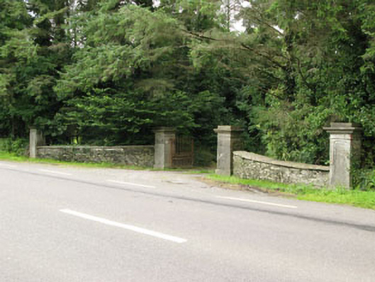 Carrigmore Housegates/railings/walls · 1608 yd
 Irish National Forestry FoundationNature reserve · 1.1 mi
 Country house in Manch EastCountry house · 1.2 mi
 Castle RockNamed rock · 1.3 mi
 The GlenWood · 2.5 mi
 Corran HillMountain / peak · 3.0 mi
 Ballynacarriga CastleCastle, tower house · 3.2 mi
 Castle DerryCastle · 3.6 mi
 Green HillMountain / peak · 5.2 mi
 Kilmichael Ambushambush · 5.8 mi