
What is recorded here
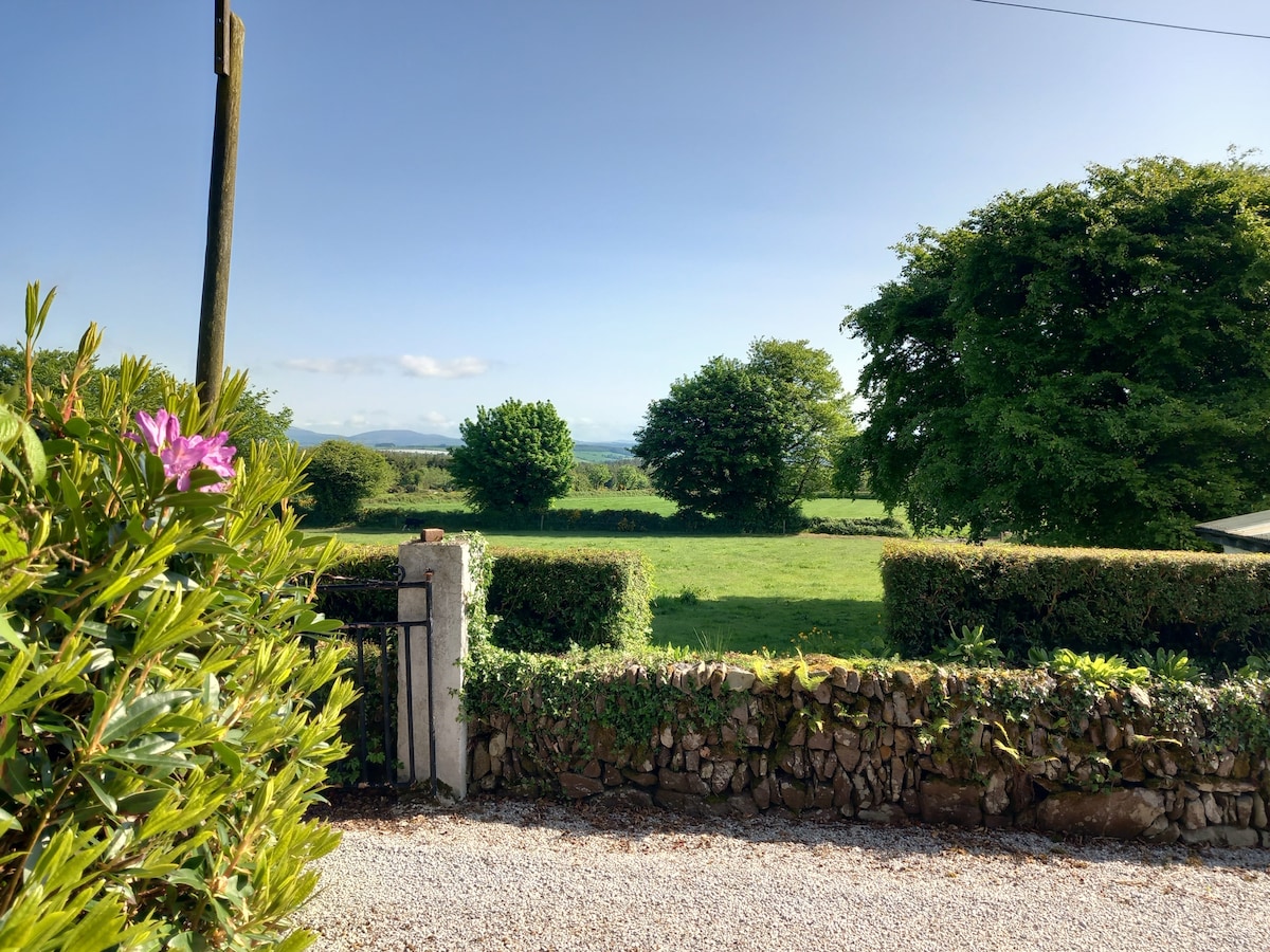
Marked on the 1837 and 1914 eds of the OS 6-inch map, and situated at the base of a gentle W-facing slope c. 30m from the NE shore of Kilglass Lough. Known locally as a holy well (Coyle 1994, 37-8), it is now a patch of dense scrub (dims c. 5m x 4m). Killglass church site (RO024-005002-) is c. 600m to the SSE.
Compiled by: Michael Moore
Date of upload: 24 August 2010
Toberbarry is associated with Saint Barry, a 7th-century Irish saint known for his ascetic practices and healing miracles. The well was traditionally visited for curing eye ailments and general blessings, with rituals often involving the collection of water at dawn.
The monument record does not grant public access. Check the route and ask the landowner before entering private land.
- What survives
- Recorded monument
Places near here
.jpg) IndicatedSettlement cluster · 362 yd
IndicatedSettlement cluster · 362 yd Church in Glebe (ballintober North By., Kilglass North Ed)Church · 689 yd
 Embanked enclosureFairy fort / earthen ringfort · 736 yd
 Goat IslandIslet · 1.1 mi
 Kilglass ChurchRuins · 1.5 mi
 Garrymond IslandIslet · 1.7 mi
 Coarse IslandForest · 2.9 mi
 CastleCastle, unclassified · 3.4 mi
 Caslans WoodForest · 3.7 mi
 Site of Dangan CastleCastle, unclassified · 4.4 mi
 Strokestown ParkHeritage attraction · 4.6 mi
 Cavan & Leitrim RailwayMuseum · 4.7 mi
Other information
Photo: Credit not shown in the picture search · Rights wording not checked; contact us if this picture should be removed