What is recorded here
In the garden of a dwelling house, to the N of the Killarney-Killorglin road (N72). The well, which is named 'Toberacreen' on the OS 6-inch map, is not visible at ground level. According to local information, it has been gone for many years. A cliff-edge fort (KE057-060001-) is c. 25m to the SW, on the opposite side of the road.
Compiled by: Elizabeth Byrne, Ursula Egan and Sheila Ronan, Archaeological Survey Unit, University College, Cork.
Date of upload: 31 January 2011
The monument record does not grant public access. Check the route and ask the landowner before entering private land.
- What survives
- Recorded monument
Places near here
 CaveMan-made underground passage · 1339 yd
 Church in Dromavally (trughanacmy By., Killorglin Ed)Church · 1574 yd
 King Puck statueMemorial · 1745 yd
 bridgebridge · 1.0 mi
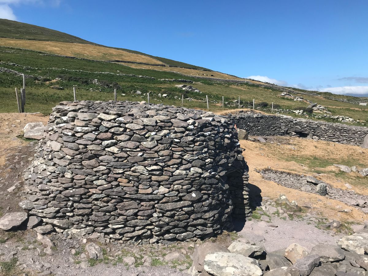 Enclosure in BanshaghEnclosure · 1.1 mi
 CastleCastle, tower house · 1.1 mi
 Cloon IslandIsland · 1.2 mi
 Clash IslandIslet · 1.5 mi
 Ballymalis Castle (in ruins)Castle, tower house · 3.1 mi
 The Kerry Creamery ExperienceHeritage attraction · 4.0 mi
 KnockbrackMountain / peak · 4.8 mi
 KnockroeMountain / peak · 5.4 mi