What is recorded here
The Temple is recorded as a ruins in County Monaghan. Its open map record supplies this location and any linked names or public references.
Places near here
 Crane IslandIslet · 334 yd
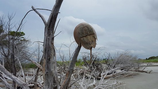 Otter Island (South)Islet · 360 yd
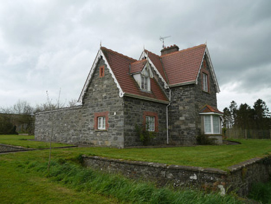 Hope Castlebuilding misc · 395 yd
 Fortification in ConcraFortification · 452 yd
 Lough MucknoLake and park landscape · 789 yd
 Dairy HillMountain / peak · 804 yd
 Church (in Ruins)Church · 885 yd
 Blaney CastleCastle · 1.0 mi
 Bawn in OnomyBawn · 1.1 mi
 Big Tom Memorial StatueMemorial · 1.2 mi
 Fairy fort / earthen ringfort in AnnadrummanFairy fort / earthen ringfort · 1.2 mi
 John Francis GreenMemorial · 1.7 mi