
What is recorded here
The Ring at Leghawny is a wet, irregular stone enclosure on poor boggy hill land in County Donegal, marked simply as the ring on old maps. Inside its twenty-five by sixteen metre boundary sits a low mound and a trench, while outside the northern wall a cluster of stones forms a seat called the Chair. Further northwest, loose stones describe two nested circles, and a triangular standing stone watches from the west. The whole complex remains overgrown and ambiguous, more like a forgotten game of markers than a proven monument.
Internal Dimensions 25m x 16m. An irregularly-shaped area, enclosed by a series of set stones, is marked 'the ring' on the OS 6-inch maps. Within the enclosure is a low mound which is probably natural and a (probably modern) trench. The interior is very wet. Outside the N section of wall is a seat-like structure known as 'the Chair' formed from a number of stones. 18.7m NW of this site is a subcircular arrangement of loose stones 20.6m in diameter. Inside this there is a smaller scatter of stones in a loosely circular arrangement 4.04m in diameter. The whole site here is very overgrown. WNW of the ring is a triangular-shaped standing stone 1.04m high and 0.47m NW-SE. The whole complex, which also includes disused field boundaries and other scatters of stone, is situated on poor boggy hill land.
The above description was derived from the 'Archaeological Survey of County Donegal. A description of the field antiquities of the County from the Mesolithic Period to the 17th century.' Compiled by: Brian Lacey with Eamon Cody, Claire Cotter, Judy Cuppage, Noel Dunne, Vincent Hurley, Celie O'Rahilly, Paul Walsh and Seán Ó Nualláin (Lifford: Donegal County Council, 1983). In certain instances the entries have been revised and updated.
Date of upload: 22 September 2008
The monument record does not grant public access. Check the route and ask the landowner before entering private land.
- What survives
- Recorded monument
Places near here
 Aghlem Bridgebridge · 1.1 mi
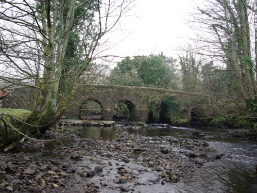 Tawnawully Bridgebridge · 1.4 mi
 Enclosure in ArdeevinEnclosure · 1.6 mi
 IndicatedBawn · 1.9 mi
 Old CastleCastle, unclassified · 2.0 mi
 Tinnycahil Earthen RingfortFairy fort / earthen ringfort · 2.5 mi
 Ardnamona Nature ReserveNational nature reserve · 2.6 mi
 Benson's HillMountain / peak · 2.9 mi
 Ard na Mona WoodOfficial walking route · 3.2 mi
 BarnesmoreMountain / peak · 4.0 mi
 Donegal Railway Heritage CentreMuseum · 4.1 mi
 Donegal CastleMuseum · 4.3 mi
Other information
Photo: louise price · CC BY-SA 2.0