What is recorded here
The Recreation Ground is shown as a visitor information on the public map of Somerset. The saved point is the map point or the centre of its mapped shape.
This does not grant access. Check current paths, opening conditions and ownership before entering.
Places near here
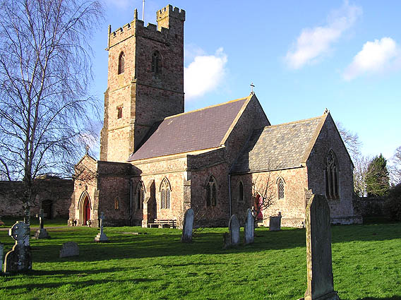 St. Mary's parish church, Nether StoweyChurch, cross or graveyard · 298 yd
.jpg?width=1280) Stowey CourtListed building · 341 yd
Stowey CourtListed building · 341 yd War MemorialMemorial · 590 yd
 Coleridge CottageHeritage attraction · 776 yd
 Stowey CastleCastle · 1004 yd
 Remains of Stowey CastleCastle, fort or tower · 1098 yd
 O.S. Triangulation Point at Pinnacle HillMountain or hill · 1197 yd
 Walford's GibbetMemorial · 1.4 mi
 Bin CombeWood · 1.4 mi
 Great BearWood · 1.6 mi
 Great WoodVisitor information · 1.9 mi
 Stringston churchyard crossScheduled monument · 2.2 mi