
What is recorded here
The National Forest Way is shown as a visitor information on the public map of South Derbyshire. The saved point is the map point or the centre of its mapped shape.
This does not grant access. Check current paths, opening conditions and ownership before entering.
Places near here
 Deer Fence East of Grotto in Calke ParkListed building · 429 yd
 Calke AbbeyRegistered park or garden · 458 yd
 Calke Abbey GrottoCave or cavern · 468 yd
 The tunnel to the grottoCave or cavern · 502 yd
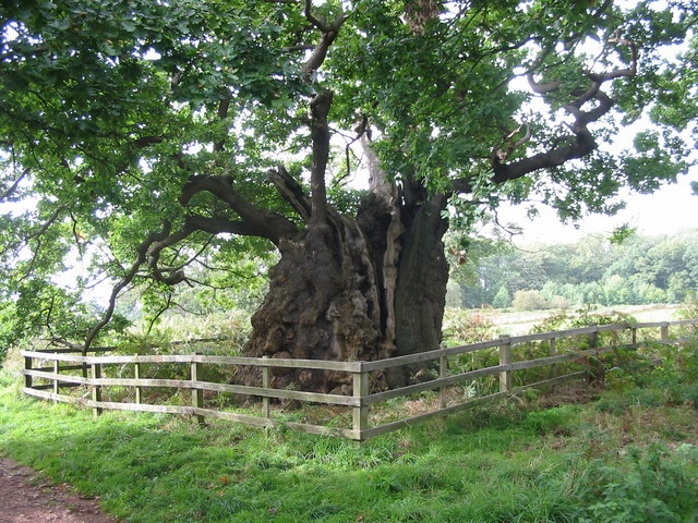 Old Man of CalkeOak · 570 yd
 Deer's Cote SpinneyForest · 874 yd
 Dimminsdale Nature ReserveVisitor information · 1494 yd
 Calke Park TunnelScheduled monument · 1559 yd
 Market PlaceMonument · 1.8 mi
 Breedon HillMountain / peak · 2.3 mi
 WilsonVisitor information · 2.5 mi
 Bluebell ArboretumHeritage attraction · 3.0 mi
Other information
Photo: Philip Halling · CC BY-SA 2.0