What is recorded here
A woodland walk exploring Hawthorn Hill Nature Reserve within Slieve Gullion Forest Park. Also known as the 'Annahaia Route'.
- Operator
- Newry, Mourne and Down District Council
Places near here
 Killeavy CastleCastle · 1179 yd
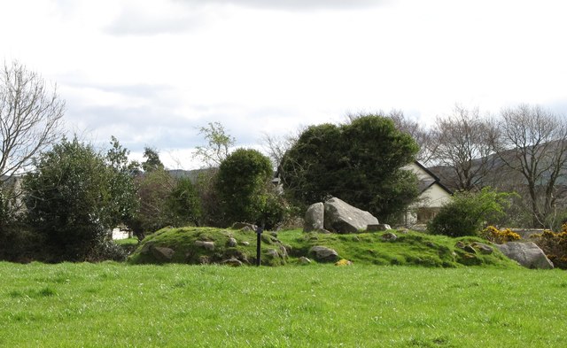 ROUND CAIRN WITH PORTAL TOMB: SOUTH CAIRN in ClonlumROUND CAIRN WITH PORTAL TOMB: SOUTH CAIRN · 1505 yd
 Clonlum South CairnArchaeological place · 1506 yd
 Slieve GullionMountain / peak · 1.0 mi
 Ring of GullionRing of hills and protected landscape · 1.4 mi
 St Moninna's WellSpring · 1.5 mi
 Killevy ChurchesVisitor information · 1.6 mi
 EARLY CHRISTIAN & MEDIEVAL CHURCHES, GRAVEYARD, AUGUSTINIAN NUNNERY & ROUND TOWER: KILLEVY CHURCHES in BallintempleEARLY CHRISTIAN & MEDIEVAL CHURCHES, GRAVEYARD, AUGUSTINIAN NUNNERY & ROUND TOWER: KILLEVY CHURCHES · 1.6 mi
 Faughill MountainMountain / peak · 1.6 mi
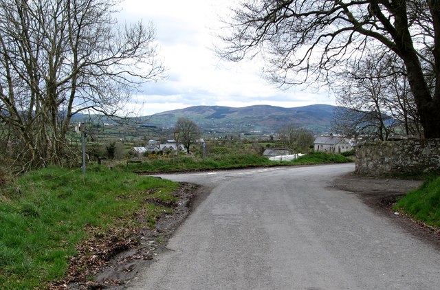 Killevy Churches AONB SignVisitor information · 1.7 mi
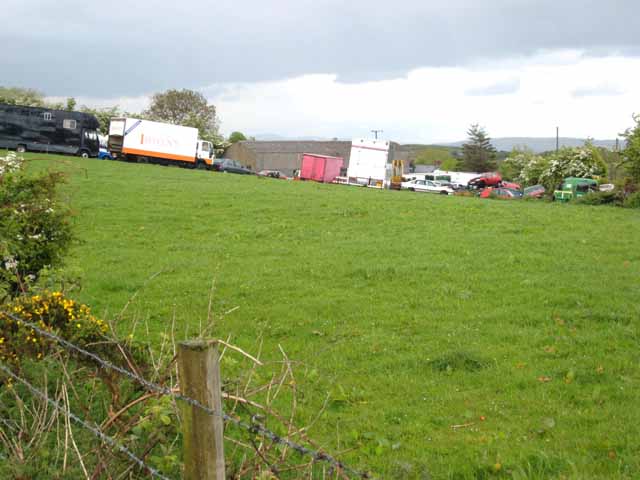 Carn HillMountain / peak · 2.0 mi
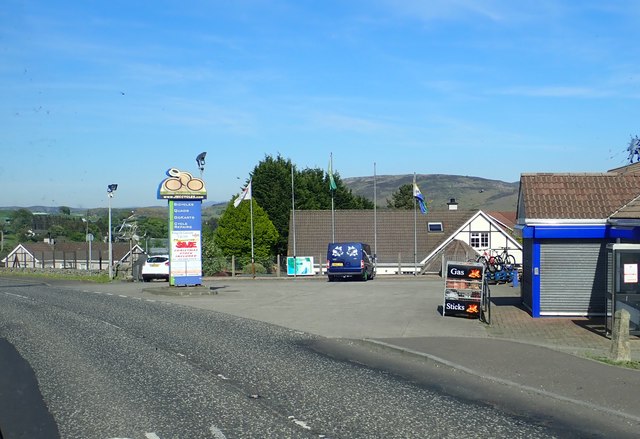 Ring of Gullion WayWalking route · 2.2 mi