What is recorded here
The Alders is shown as a wood on the public map of Somerset. The saved point is the map point or the centre of its mapped shape.
This does not grant access. Check current paths, opening conditions and ownership before entering.
Places near here
 East Quantoxhead Church from the SSWChurch, cross or graveyard · 137 yd
 Church of St MaryListed building · 165 yd
 Luttrell monumentMonument or public art · 175 yd
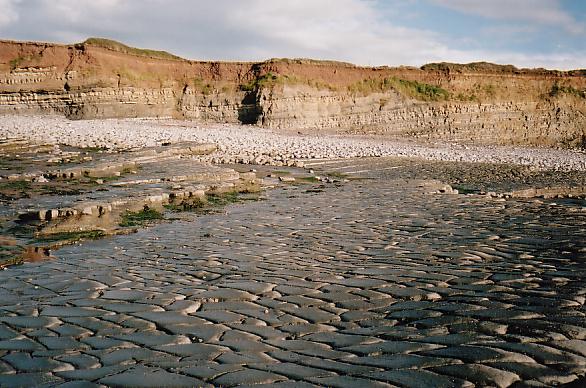 Beach at Quantock's HeadBeach · 481 yd
 East WoodWood · 681 yd
 Kilve BeachBeach / strand · 1273 yd
 Cliff between Kilve and LilstockCliff or headland · 1.2 mi
 West HillMountain / peak · 1.5 mi
 The Northern Flank of Beacon Hill (Quantocks)Mountain or hill · 1.5 mi
 Round HillMountain / peak · 1.6 mi
 A stone circle at Home Farm Holiday Centre, St. AudriesAncient stone or rock art · 1.6 mi
 St. Audries BayBay · 1.7 mi