What is recorded here
Situated at the bottom of a SW-facing slope and c. 30m N of a small E-W stream with the ruins of a house c. 50m to the NE. It is marked only on the 1907 edition of the OS 6-inch map with houses c. 50m to NE and 100m to SW. Part of the curve of a wall face (H 0.3m) is visible at N with some of the mound (dim. c. 2m E-W; H 0.6m) around it, but most of it, including the entrance, is removed.
The above description is derived from 'The Archaeological Inventory of County Leitrim' compiled by Michael J. Moore (Dublin: Stationery Office, 2003). In certain instances the entries have been revised and updated in the light of recent research.
Date of upload: 23 September 2008
The monument record does not grant public access. Check the route and ask the landowner before entering private land.
- What survives
- Recorded monument
Places near here
 IndicatedFairy fort / stone ringfort · 958 yd
 Sweat HouseSweathouse · 1311 yd
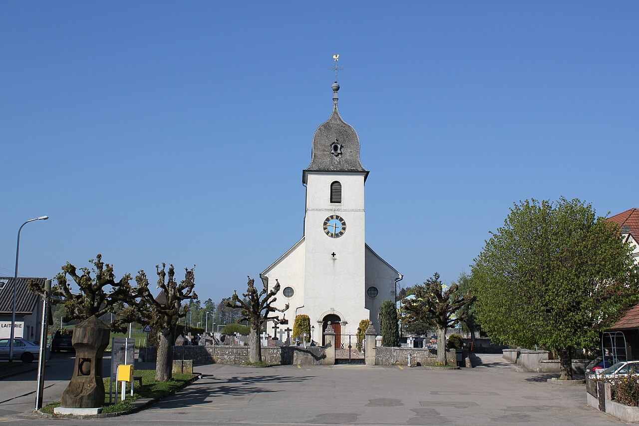 Church in FahyChurch · 1547 yd
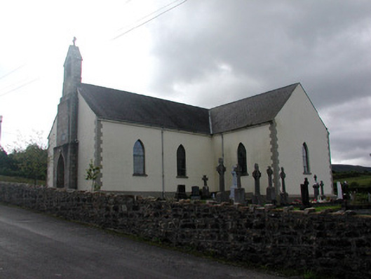 Saint Hugh's Catholic Churchchurch/chapel · 1.1 mi
 Fahy RockIslet · 1.5 mi
 Gull IslandIslet · 2.6 mi
 Forde's CastleCastle · 2.6 mi
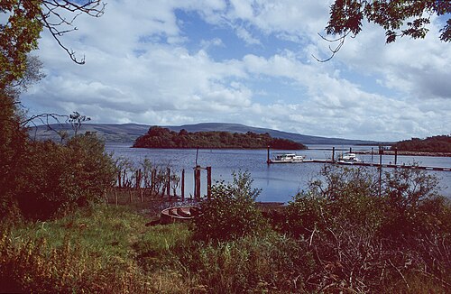 Lough AllenLarge freshwater lake · 2.6 mi
 GubcormonganHeadland · 3.2 mi
 BencroyMountain / peak · 3.3 mi
 CarrignahastaCliff · 3.4 mi
 Republican Garden of RemembranceMemorial · 3.4 mi