What is recorded here
Sullivan's Travel Area is recorded as a cliff in County Down. Its open map record supplies this location and any linked names or public references.
Places near here
 Goin Back AreaCliff · 29 yd
 Iron Hawk AreaCliff · 141 yd
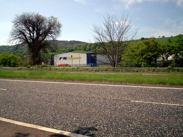 Greenbank TrailWalking route · 963 yd
 CHURCH (site of) (unlocated) in CreeveCHURCH (site of) (unlocated) · 1437 yd
 Convent of MercyReligious House · 1468 yd
 Carlingford LoughVisitor information · 1745 yd
 Drumalane MillFactory · 1.0 mi
 CROSS SLAB in BallynacraigCROSS SLAB · 1.1 mi
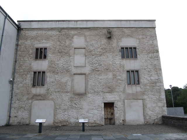 TOWER-HOUSE: BAGENAL'S CASTLE in NewryTOWER-HOUSE: BAGENAL'S CASTLE · 1.1 mi
 Newry and Mourne MuseumMuseum · 1.1 mi
 Bagenal's CastleCastle · 1.1 mi
 Newry CanalVisitor information · 1.1 mi