
What is recorded here
Sugarloaf Mountain is recorded as a mountain / peak in County Cork. Its open map record supplies this location and any linked names or public references.
Sugarloaf Mountain in County Cork rises to approximately 480 meters and is part of the broader Munster uplands, characterized by Carboniferous limestone geology. It is a notable local landmark, though it lacks prominent folklore or national significance.
Places near here
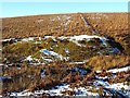 Burnt mound in KealagowlaneBurnt mound · 688 yd
 Boulder-burial in KealagowlaneBoulder-burial · 773 yd
 Sugarloaf Mountain West TopMountain / peak · 1230 yd
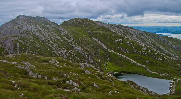 Sugarloaf Mountain Far West TopMountain / peak · 1468 yd
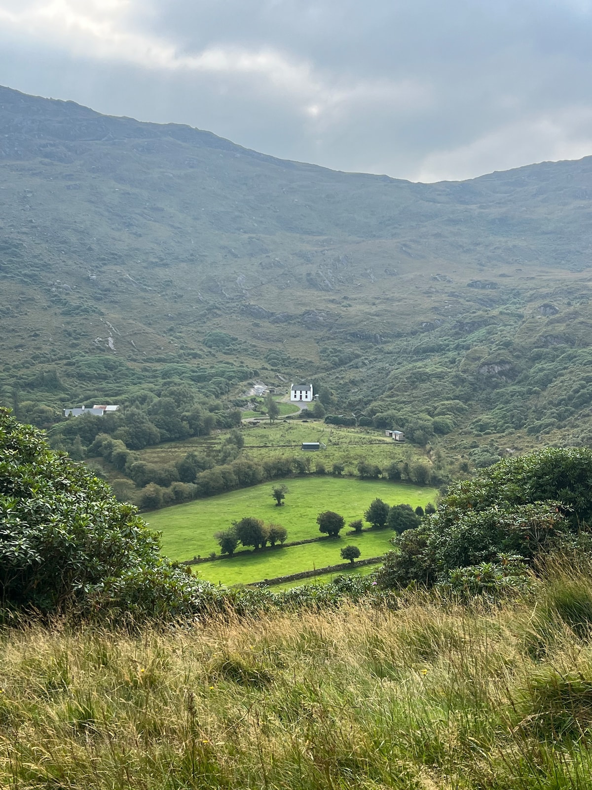 Ahnaclaha BrBridge · 1471 yd
 Old Stone CottagesHeritage attraction · 1.4 mi
 Penitential station in DerreenacarrinPenitential station · 1.7 mi
 Garinish WestIslet · 2.3 mi
 IllaunageraghIslet · 2.3 mi
 Mehal HeadHeadland · 3.2 mi
 Glengarriff WoodsWood · 3.4 mi
 Four Heads PointHeadland · 3.5 mi
Other information
Photo: Colin Park · CC BY-SA 2.0