What is recorded here
The official Northern Ireland record identifies this as Submerged Landscape. Recorded period: PREHISTORIC. The official map point was placed at the centre of the recorded archaeological site from the source map reference.
- Townland
- Town Parks
- Official type
- Submerged Landscape
- Official record
- MRA130:007
- What survives
- Recorded monument
- Location
- Official recorded centre point
The monument record does not grant public access. Check the route and ask the landowner before entering private land.
Places near here
 Arthur ChambersShop · 93 yd
 Victoria MonumentMemorial · 182 yd
 Queen Victoria MonumentMonument · 183 yd
 Titanic MemorialMonument · 193 yd
 William James PirrieMemorial · 194 yd
 Belfast City HallHeritage attraction · 237 yd
 Lord Dufferin MonumentMonument · 281 yd
 Donegall Square SouthVisitor information · 306 yd
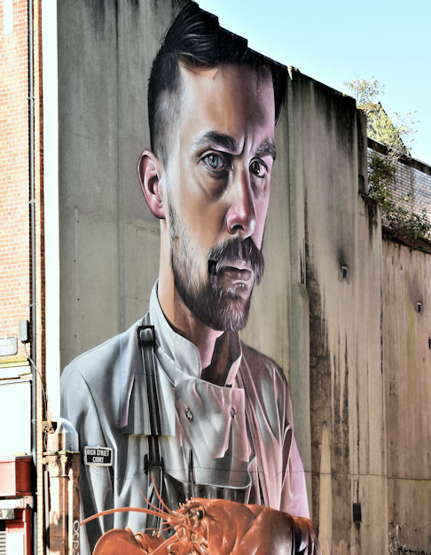 High StreetVisitor information · 393 yd
 Albert Memorial ClockHeritage attraction · 448 yd
 Clarence HouseHistoric building · 259 yd
 Scottish Provident BuildingOffice · 277 yd