What is recorded here
Situated on a S-facing slope and on the NW side of Main Street. An archaeological rescue excavation and watching brief (E000404) in 1987 uncovered evidence of a medieval building (ME036-048046-) and other features. In the course of the watching brief a substantial wall (L 8m plus; Wth of base 1.8m; max. H 1m) with base-batters on both faces was identified running NE-SW over the area of the house (ME036-048046-) and parallel with the present street. A sherd of medieval cooking ware was recovered from the fabric, and the wall was sealed beneath garden soil and rubble. (Walsh 1990-91, 45)
A wall (Wth 0.95-1.2m) was uncovered in archaeological testing (19E0573) by L. Coen c. 20m to the NW (excavations.ie 2019: 245, 602). It has the same alignment as this wall and the street, and extends off to the NE (L 15m plus) just outside the rear wall of the Library. It has a drain (Wth 0.8-1m; D 0.5m plus) on its SE side and is thought to be medieval although there were no artefacts associated with it. (Coen 2019)
Compiled by: Michael Moore
Date of upload: 9 July 2019
Amended: 30 April, 2021
The monument record does not grant public access. Check the route and ask the landowner before entering private land.
- What survives
- Recorded monument
Places near here
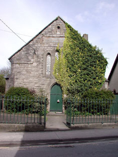 Saint Patrick's National Schoolschool · 18 yd
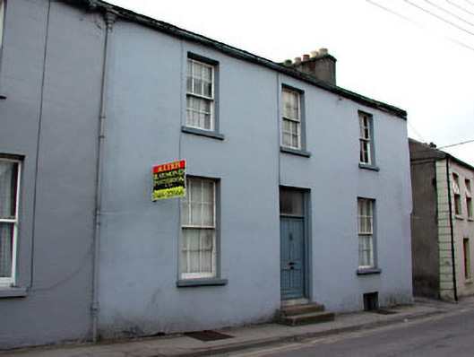 Blackhall Househouse · 35 yd
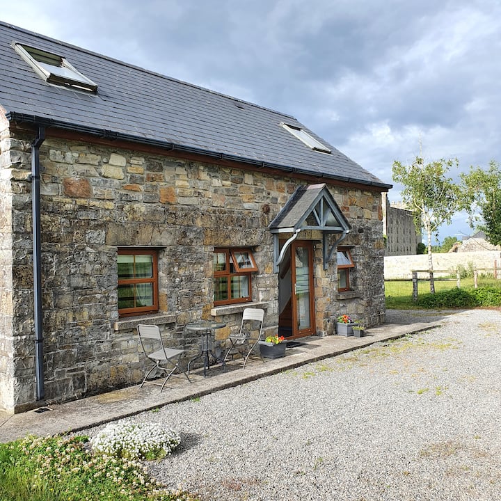 IndicatedTown defences · 58 yd
 Cross in Townparks NorthCross · 188 yd
 CastleCastle, hall-house · 261 yd
 Trim CastleCastle, Anglo-Norman masonry castle · 334 yd
 Small-leaved ElmSmall-leaved Elm · 3.7 mi
 Wych ElmWych Elm · 3.7 mi
 Tara Open StudioGallery · 7.6 mi
 Kilgar GardensHeritage attraction · 9.3 mi
 MullaghMountain / peak · 9.4 mi
 Old Bog Road made famous by Teresa Bryton 1868-1943Memorial · 9.4 mi