What is recorded here
Listed in the SMR (1989) and RMP (1995) and classified 'Sweathouse Possible' in both publications. Not marked on any edition of the OS 6-inch map. On a steep NNE-facing slope immediately above an area of scrub and loose stones. Small rectangular building (int. dims. 1.55m NNE-SSW; 0.85m WNW-ESE) whose SSW side, and the SSW half of the WNW and ESE sides are built into the hillside. The structure is defined by a well-constructed drystone walls (Wth. 0.56m) on the SSW, WNW and ESE sides. That at SSW side is the highest (H 1.4m). Although lower, those at the WNW and ESE sides are still substantial (H 0.85m). The NNE wall, where the entrance must have been, has collapsed and is marked now only by a few stones strewn on the ground. At least three flat, narrow stones at a slight upward angle are visible at the top of the SSW wall which may be the springing for a corbelled roof. The floor level is now comprised of earth and grass. Superficially this resembles an infilled well. There is a local tradition that this is the remains of a sweathouse. The composition of the walls strongly suggest that this structure is post-1700 AD in date.
Compiled by: Patrick F. O'Donovan
Date of upload: 21 August 2012
The monument record does not grant public access. Check the route and ask the landowner before entering private land.
- What survives
- Recorded monument
Places near here
 IndicatedFairy fort / stone ringfort · 257 yd
 BenwiskinMountain / peak · 1106 yd
 Church (in Ruins)Church · 1151 yd
 CashelnamaddaFairy fort / stone ringfort · 1273 yd
 Benwiskin South TopMountain / peak · 1.2 mi
 Gleniff Horseshoe DriveViewpoint · 1.4 mi
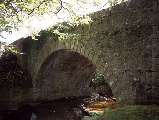 Ballaghnatrillick Bridgebridge · 1.4 mi
 Gleniff Horseshoe Drive 2Viewpoint · 1.5 mi
 Dermot & Grania's BedCave · 1.7 mi
 BenbulbenMountain · 2.3 mi
 Cormac Reagh's HoleCave · 2.8 mi
 Creevykeel Court TombNeolithic court tomb · 3.0 mi