What is recorded here
Excavation in the SW quadrant of the ecclesiastical enclosure (KE070-043----) revealed evidence for a number of wooden structures of both circular and rectangular plan. (see Sheehan 1994, 41-2; 1995, 434; 1996, 40-41; 1997, 47; 1998, 82; 2000a, 89; 2000b, 112; 2004, 211-12; 2006, 214)
The above description is derived from the published 'Archaeological Inventory of County Kerry. Volume I: South-West Kerry' (Dublin: Stationery Office, 2009). In certain instances the entries have been revised and updated in the light of recent research.
Date of upload: 30 May 2011
The monument record does not grant public access. Check the route and ask the landowner before entering private land.
- What survives
- Recorded monument
Places near here
 Church in CaherlehillanChurch · 24 yd
 SheepfoldHut site · 793 yd
 Field system in Coulagh,teeromoyleField system · 795 yd
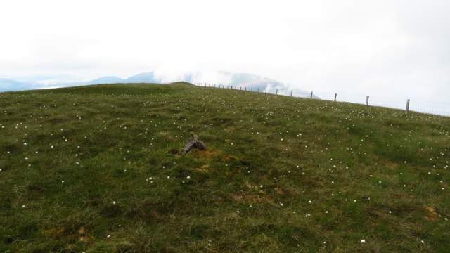 Been HillMountain / peak · 1.6 mi
 Teeromoyle MountainMountain / peak · 2.0 mi
 Soft Tree-fernSoft Tree-fern · 2.7 mi
 Chilean wine palmChilean wine palm · 2.7 mi
 Kells BeachBeach / strand · 2.9 mi
 Gleensk Viaductbridge · 3.2 mi
 Sheep Dog TrainingHeritage attraction · 3.2 mi
 Short Castle (Site of)Castle, unclassified · 3.5 mi
 FeaklecallyHeadland · 3.9 mi