What is recorded here
On an E-facing slope in upland terrain in the Galtee Mountains, overlooking valleys to the SE and NNE. A small rectangular structure (int. dims. 3.25m NE-SW; 2.2m NW-SE; wall T 0.6-0.7m; max. H 0.55m) constructed of rough red sandstone conglomerate boulders, approximately 3 courses high in places. There is a narrow entrance (Wth 0.75m) at the NE end of the SE wall. It is probably a 19th-century grouse-shooting butt.
See attached photograph:
TS074-026----_01 Structure from SW
Compiled by: Jean Farrelly
Date of upload: 29 April 2019
The monument record does not grant public access. Check the route and ask the landowner before entering private land.
- What survives
- Recorded monument
Places near here
 Laghtshanaquilla North-East TopMountain / peak · 436 yd
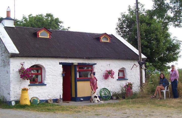 Hut site in BohernarnaneHut site · 465 yd
 SturrakeenMountain / peak · 687 yd
 Dermot & Grania's BedArchaeological place · 1450 yd
 Glengarra WoodWood · 1.2 mi
 Ballydavid WoodWood · 1.6 mi
 Wood Housegarda station/constabulary barracks · 2.0 mi
 Cappa Castle (in ruins)Castle, tower house · 2.1 mi
 Cashlaunbeg (in ruins)Bawn · 2.1 mi
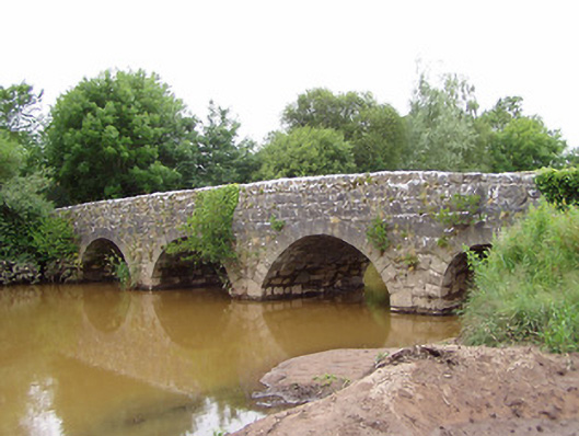 Ashgrove Bridgebridge · 2.3 mi
 Aircraft Memorial 1976Memorial · 4.7 mi
 Christ the KingViewpoint · 5.5 mi