What is recorded here
Stranbrough Plantation is shown as a forest on the public map of North Yorkshire. The saved point is the map point or the centre of its mapped shape.
This does not grant access. Check current paths, opening conditions and ownership before entering.
Places near here
 Black WoodForest · 1141 yd
 Bullmire WhinForest · 1639 yd
 Croft CircuitLarge sports centre · 1.0 mi
 Clow Beck Pack Horse Bridge, Near Monk End FarmListed building · 1.2 mi
 Woodbine CottageListed building · 1.2 mi
 Inscription on Fothergill memorialHeritage place · 3.3 mi
 Clock Tower, Darlington South ParkCastle, fort or tower · 3.3 mi
 South ParkVisitor information · 3.3 mi
 The Fowler Monument in South ParkMonument or public art · 3.3 mi
 Park-keeper's offices and clock towerCastle, fort or tower · 3.4 mi
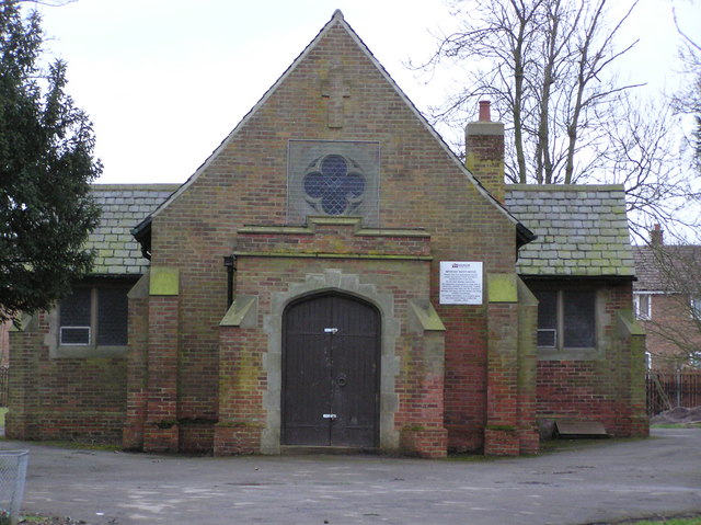 Eastbourne Cemetery Chapel : DarlingtonChurch, cross or graveyard · 3.6 mi
 Tees Cottage Pumping Station - Visitor Centre and Gas Engine HouseMuseum · 3.8 mi