What is recorded here
On a SW-NE ridge. Associated with a medieval church (KK030-010001-) in Garryrickin townland, the remaining wall of which was demolished in 1973. According to local information there was a 'holy water font' in the church, however, as stoups are commonly described as holy water fonts it is likely that this refers to a stoup and not a font. It is currently unlocated, though it possibly remains in the vicinity of the church.
Compiled by: Jean Farrelly
Date of upload: 25 July 2023
The monument record does not grant public access. Check the route and ask the landowner before entering private land.
- What survives
- Recorded monument
Places near here
 James (Jim) McKennaMemorial · 64 yd
 Garryrickin Househouse · 1101 yd
 Butlerswood RingfortArchaeological place · 1469 yd
 Garryrickin Ringfort (rath)Archaeological place · 1532 yd
 Bawn in GarryrickinBawn · 1678 yd
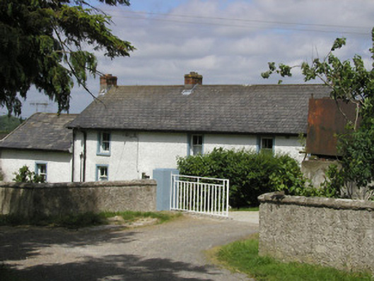 farm housefarm house · 1.4 mi
 Coolaghmore National SchoolMemorial · 1.6 mi
 KillameryVisitor information · 1.6 mi
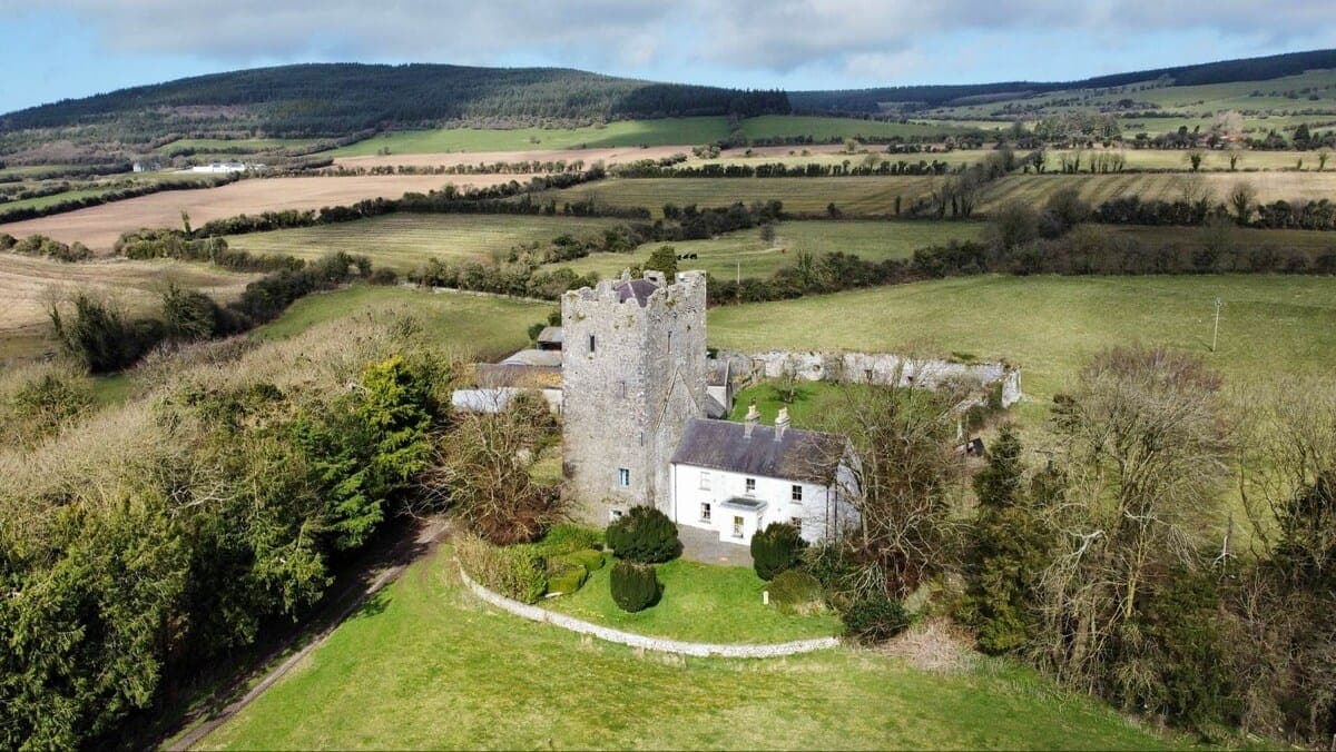 CastleCastle, tower house · 1.6 mi
 HawthornHawthorn · 1.6 mi
 Killamery High CrossVisitor information · 1.6 mi
 European ashEuropean ash · 2.1 mi