What is recorded here
Within a mature coniferous wood, to the W of Coolkellure Lake. A row of six stones, aligned NE-SW, measures 5.5m in overall length. The NE stone (0.4m x 0.4m; H 0.46m) is situated 0.6m from the second stone (1.08m x 0.44m; H 1.07m) at the SW. The third stone (0.66m x 0.35m; H 0.78m) is located 0.2m to the SW. The fourth stone (0.21m x 0.25m; H 0.66m) stands 0.15m to the SW of the third stone. The fifth stone (0.45m x 0.15m; H 0.8m) is 0.25m to the SW of the previous stone. The sixth stone (0.8m x 0.6m; H 1.05) is 0.7m to the SW of the fifth stone. All stones are largely covered with moss and are surrounded by forest debris. Smaller quartz stones have been placed on top of the second and third stones.
The above description is derived from 'The Archaeological Inventory of County Cork. Volume 5' (Dublin: Stationery Office, 2009).
Date of upload: 22 December 2009
Probably dating to the Neolithic or Bronze Age, the stone row may have had ceremonial or ritual significance, possibly aligned with seasonal or astronomical events. Such arrangements are often associated with funerary practices or territorial markers in prehistoric landscapes.
The monument record does not grant public access. Check the route and ask the landowner before entering private land.
- What survives
- Recorded monument
Places near here
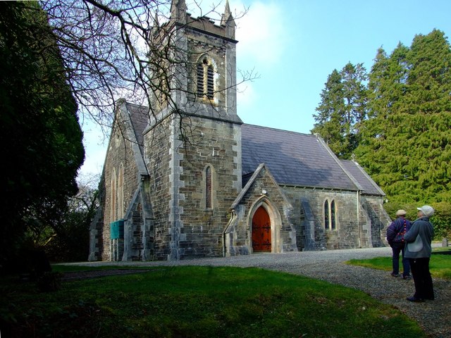 St. Edmund's Church of Ireland Churchchurch/chapel · 643 yd
 Grave YardGraveyard · 650 yd
 Enclosure in DromdrasdilEnclosure · 657 yd
 schoolschool · 728 yd
 Pookeen North TopMountain / peak · 1.5 mi
 Nowen HillMountain / peak · 2.1 mi
 Togher CastleCastle, tower house · 2.5 mi
 Castle (Site of)Castle, Anglo-Norman masonry castle · 3.5 mi
 Funmanway Adventure LandHeritage attraction · 3.7 mi
 Dunmanway Heritage CentreVisitor information · 3.7 mi
 Graveyard in Dunmanway NorthGraveyard · 4.0 mi
 Mohona WoodWood · 4.1 mi