What is recorded here
This monument was reported to the Archaeological Survey of Ireland by Tony Miller on 4 September 2013. He describes it as follows:
"A five stone row sited on a level area near the top of a west facing slope, overlooking the River Ilen. In an area of improved pasture dominated by a drumlin swarm, immediately south of the castle at Castledonovan. The row is in the north east corner of a field with a farm track passing close to the north and east. There is now access into the field as it is on one of the new walking trails created in and around Drimoleague. The landowners, Emma and Marcus, run an Alpaca farm and educational centre.
The stone row has an overall length of 3.9m and consists of five stones with the tallest in the middle. The alignment of the row is north east – south west (30°- 210°) and all the stones are of a similar size and shape with only the central one being taller. The measurements of the stones are, from the south west-
1. 0.8m H; 0.44m W; 0.12m Th. 0.5m from
2. 0.89m H; 0.43m W 0.17m Th. 0.38m from
3. 1.5m H; 0.54m W;0.17m Th. 0.47m from
4. 0.87m H; 0.41m W; 0.2m Th. 0.001m from
5. 0.88H; 0.55m W; 0.11m Th.
Approximately 3m to the west of the alignment is a line of large slabs of rock lying flat on the ground or on each other forming a raised boundary to this corner of the field. The boundary makes a short return for a few meters along the south west end of the alignment. To the north east it continues on into a thicket of fuschia and briars. This boundary covers some exposed bedrock so it could have been a convenient place to dump field clearance or it could have been an attempt to demarcate this part of the field containing the stone row."
Compiled by: Denis Power
Date of upload: 16 September 2013
A five-stone row likely dating to the Bronze Age (c. 2500–500 BCE), possibly aligned with seasonal solar events; such stone rows may have had ritual or ceremonial significance, or functioned as markers within a wider landscape of prehistoric monuments.
The monument record does not grant public access. Check the route and ask the landowner before entering private land.
- What survives
- Recorded monument
Places near here
 Castle DonovanCastle · 581 yd
 Castle Donovan (in Ruins)Castle, tower house · 584 yd
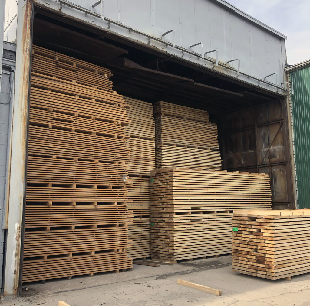 KilnKiln, corn-drying · 597 yd
 ODonovans SeatMound · 756 yd
 Delish Cascade WalkWalking route · 961 yd
 Enclosure in CeanculligEnclosure · 1245 yd
 Drimoleague Heritage Loop WalkWalking route · 1.7 mi
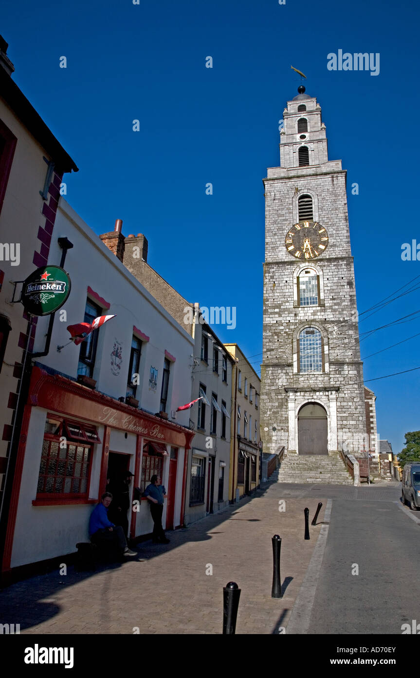 Church (in Ruins)Church · 1.9 mi
 Nowen Hill SW TopMountain / peak · 1.9 mi
 Mullach MéiseMountain / peak · 2.1 mi
 Francis O'Neill PlaqueMemorial · 4.2 mi
 Kealkill stone circleVisitor information · 5.6 mi