What is recorded here
The official Northern Ireland record identifies this as STONE FEATURE, possibly Man-made underground passage?. Recorded period: UNCERTAIN. The official map point was placed at the centre of the recorded archaeological site from the source map reference.
The monument record does not grant public access. Check the route and ask the landowner before entering private land.
- What survives
- Recorded monument
Places near here
 Moorish TowerCastle · 656 yd
 A.P. SITEA.P. SITE, bivallate enclosure · 1417 yd
 CRANNOG in Castlewellan Lake in ClarkillCRANNOG in Castlewellan Lake · 1427 yd
 Cypress Pond CollectionWood · 1579 yd
 Ice HouseCastle · 1.1 mi
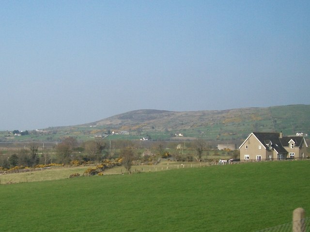 Tullynasoo MountainMountain / peak · 1.2 mi
 SlievenaslatMountain / peak · 1.3 mi
 Castlewellan CastleVisitor information · 1.3 mi
 Castlewellan LakeVisitor information · 1.4 mi
 St. Malachy's RC ChurchChurch · 1.8 mi
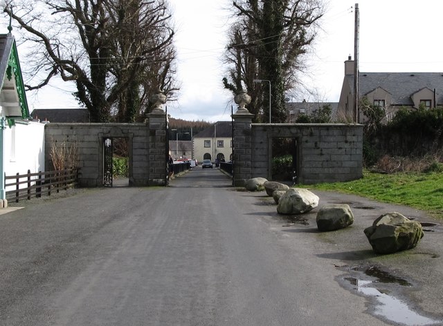 Historic Settlement Castlewellan in CastlewellanHistoric Settlement Castlewellan · 1.9 mi
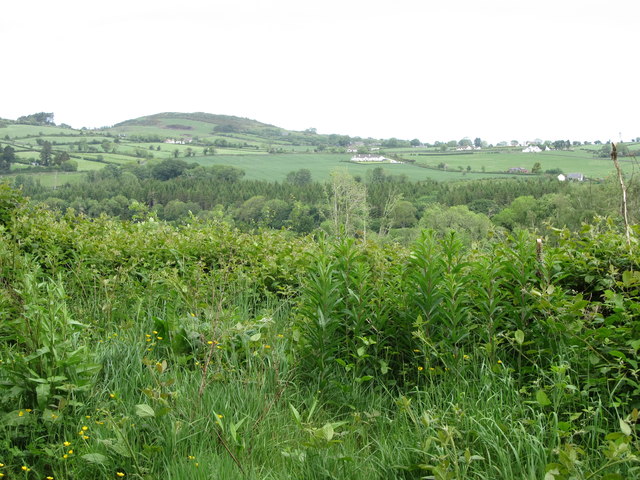 Clarkill WoodForest · 2.1 mi