
What is recorded here
Stone cross in Magherahar, County Fermanagh, is a medieval marker of faith and memory. It may have pointed to a lost chapel, a burial place, or a boundary between lands. People may have touched its stone, prayed beside it, or simply passed it without knowing what it recorded.
The official Northern Ireland record identifies this as STONE CROSS. Recorded period: MEDIEVAL. The official map point was placed at the centre of the recorded archaeological site from the source map reference.
The monument record does not grant public access. Check the route and ask the landowner before entering private land.
- What survives
- Recorded monument
Places near here
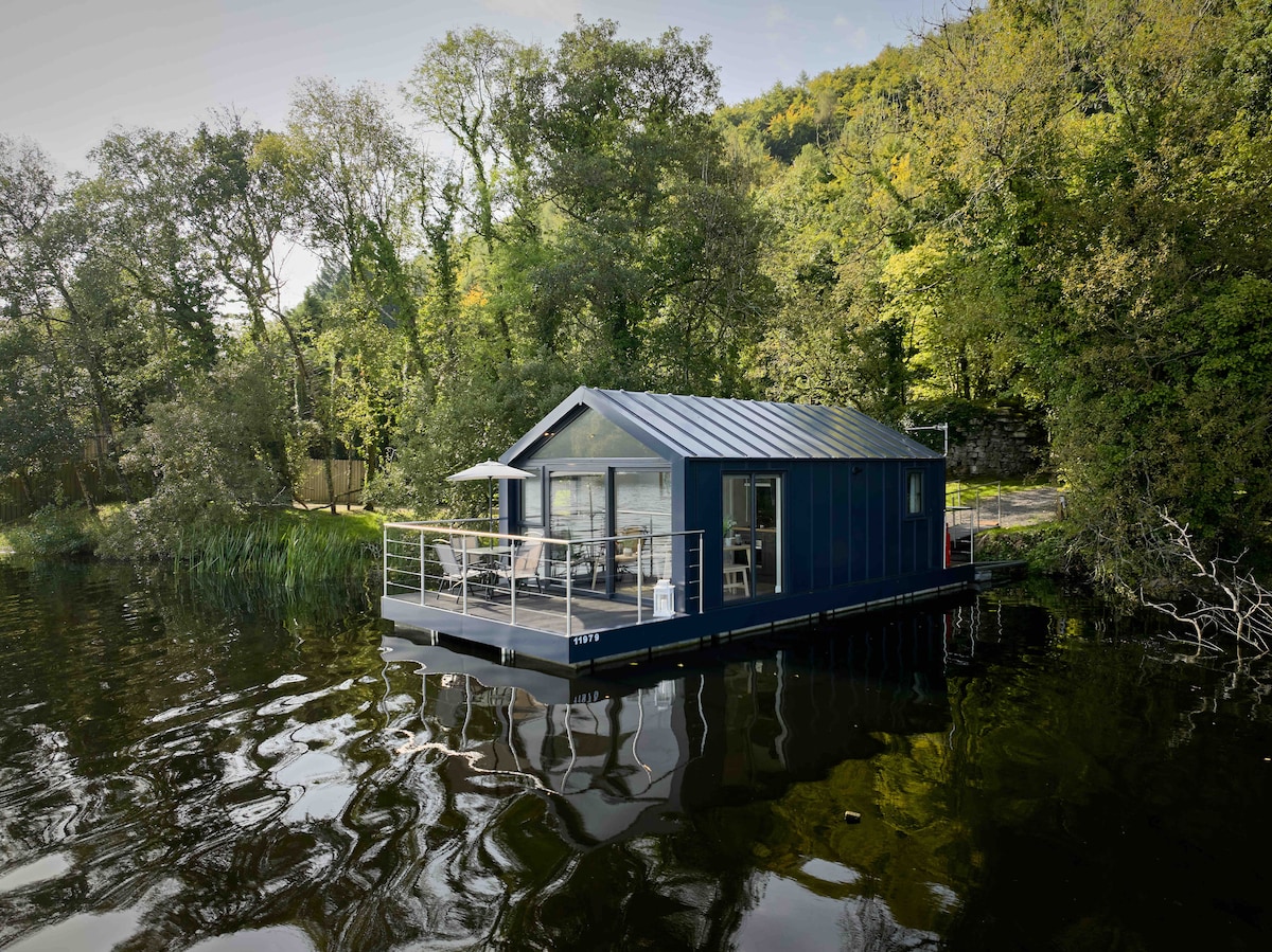 Carrickreagh WoodWood · 1438 yd
 Pushen IslandIsland · 1604 yd
 Gall IslandIsland · 1.0 mi
 C17TH HOUSE & BAWN (unlocated) in CosbystownC17TH HOUSE & BAWN (unlocated) · 1.1 mi
 FORTIFICATION? in Rosspoint OR Cosbystown EastFORTIFICATION? · 1.2 mi
 Inishmacsaint Church and Cross in InishmacsaintInishmacsaint Church and Cross · 1.3 mi
 Innishmacsaint Abbey (ruins)Ruins · 1.4 mi
 Monea CastleHeritage attraction · 1.6 mi
 CHURCH SITE (unlocated): INISH COIMHETA or CUSTODARIA INSULA OF VITA COMGALLI in Ely IslandCHURCH SITE (unlocated): INISH COIMHETA or CUSTODARIA INSULA OF VITA COMGALLI · 1.7 mi
 PLANTATION BAWN in RossclarePLANTATION BAWN · 2.3 mi
 Tullycarbry ForestForest · 3.0 mi
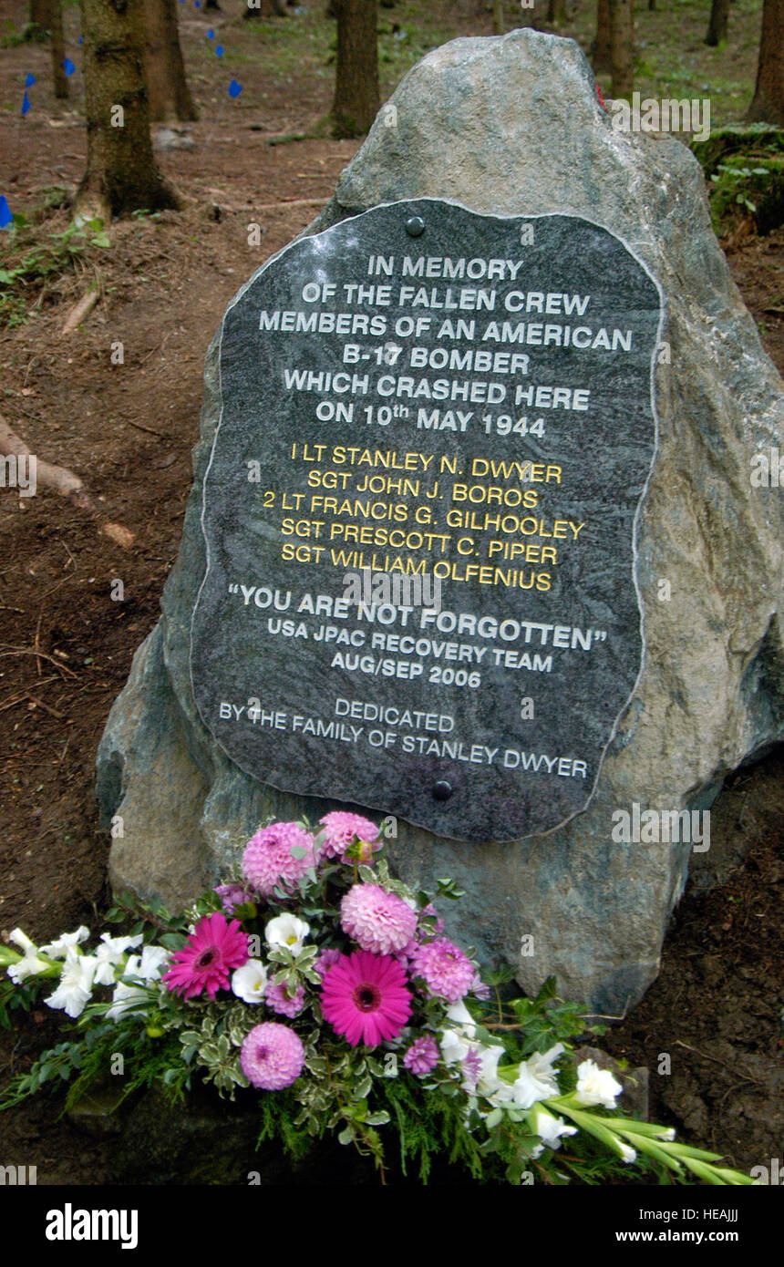 B17 Crash MemorialMonument · 4.5 mi
Other information
Photo: Credit not shown in the picture search · Rights wording not checked; contact us if this picture should be removed