What is recorded here
Eleven stones once encircled a central stone marked with a cup, standing in level pasture north of Kenmare Bay before disappearing entirely. The circle measured about ten metres across and contained gallauns two to three feet high, some lying prostrate when sketched in 1842. Ó Nualláin suggested the central stone may have capped a boulder burial, turning the open circle into a hidden chamber for the dead. The grass now covers what the stones held, leaving only the memory of their shape behind.
In level pasture, to the N of Kenmare Bay. There are no visible remains of this stone circle. It was indicated as a circle of stones (diam. c. 10m), enclosing a central stone, on the 1846 OS 6-inch map. A sketch of it from the 1842 OS Memoranda, County Kerry, reproduced by Ó Nualláin (1984a, 63, fig. 12) depicts a circle of eleven stones surrounding a central stone, which appears to have had a cupmark on its upper surface. The caption on the sketch reads: 'An ancient circle of gallauns varying from 2 to 3 feet [0.6-0.91m] high and some lying prostrate' (ibid.). Ó Nualláin (1975, 86) suggests that the central stone may have been the capstone of a boulder-burial (KE093-018001-). (Ó Nualláin 1984a, 26, no. 40)
The above description is derived from the published 'Archaeological Inventory of County Kerry. Volume I: South-West Kerry' (Dublin: Stationery Office, 2009). In certain instances the entries have been revised and updated in the light of recent research.
Date of upload: 30 May 2011
Likely dating to the Neolithic or Early Bronze Age, this stone circle may have had ceremonial or astronomical significance, common to such sites in prehistoric Ireland. Its central stone suggests a focal point for ritual activity, though local folklore or specific use is not recorded.
This remains an important historical record, but the official description says the monument is no longer visible or has been destroyed. The monument record does not grant public access. Check the route and ask the landowner before entering private land.
- What survives
- No visible remains or recorded as destroyed
Places near here
 Man-made underground passage in KillowenMan-made underground passage · 224 yd
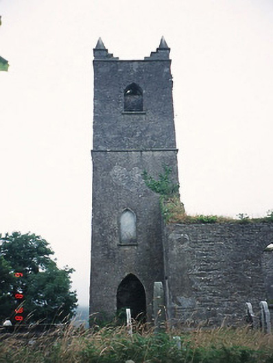 Kenmare Churchchurch/chapel · 388 yd
 Killowen ChurchRuins · 390 yd
 Grave Yd.Graveyard · 399 yd
 The Lodge WoodWood · 1220 yd
 Monterey PineMonterey Pine · 1422 yd
 Mill Cove Gallery / John Brennan StudioGallery · 1491 yd
 Kenmare Heritage Town - Main StreetMemorial · 1519 yd
 CastleCastle, unclassified · 1557 yd
 Kenmare Tourist Information OfficeVisitor information · 1558 yd
 Cleo GalleryGallery · 1641 yd
 StrickeenMountain / peak · 1.2 mi