What is recorded here
The official Northern Ireland record identifies this as STONE CIRCLE. Recorded period: PREHISTORIC; NEO/B.A.. The official map point was placed at the centre of the recorded archaeological site from the source map reference.
Likely dating to the Neolithic or Bronze Age, this stone circle may have been used for ceremonial, astronomical, or communal purposes. Interpretations of its meaning or folklore are not specifically recorded for this site.
The monument record does not grant public access. Check the route and ask the landowner before entering private land.
- What survives
- Recorded monument
Places near here
 Drumskinny Stone CircleHeritage attraction · 1.7 mi
 STONE CIRCLE, CAIRN & ALIGNMENT in DrumskinnySTONE CIRCLE, CAIRN & ALIGNMENT · 1.7 mi
 Montiaghroe Standing StonesPublicly named standing stone · 2.7 mi
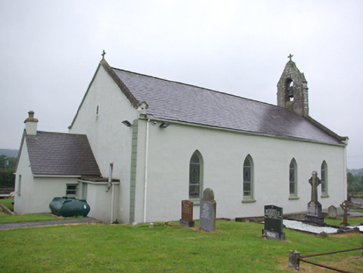 Saint Joseph's Catholic Churchchurch/chapel · 2.7 mi
 Bin MountainMountain / peak · 2.9 mi
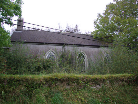 Cashelenny Church of Ireland Churchchurch/chapel · 3.1 mi
 Bolaght MountainMountain / peak · 3.6 mi
 Sloughan GlenWood · 4.0 mi
 Grousehall ForestForest · 4.1 mi
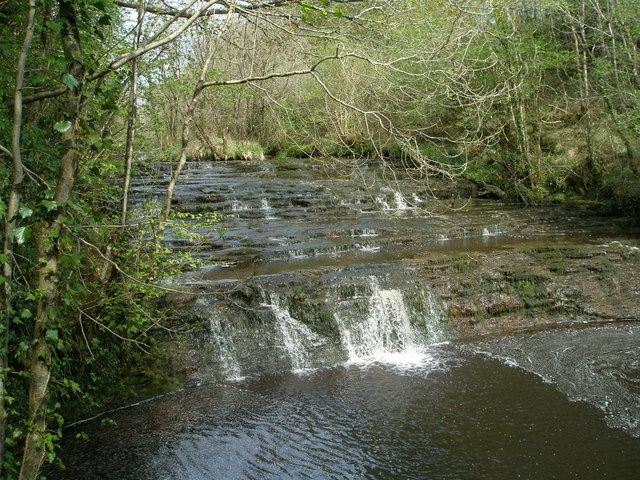 Drummoney WaterfallWaterfall · 4.5 mi
 CHURCH; GRAVEYARD; CARVED STONE: HOLYWELL CHURCH in LackaghCHURCH; GRAVEYARD; CARVED STONE: HOLYWELL CHURCH · 6.4 mi
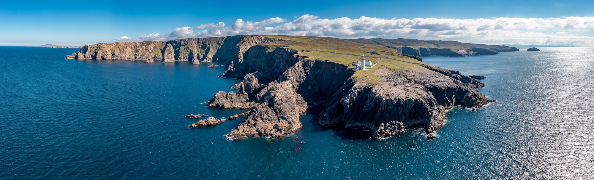 Macart IslandIslet · 6.6 mi