What is recorded here
Situated in gently undulating pasture. Not marked on the 1837 edition of the OS 6-inch map. Roughly circular, raised level area (diam. 25m) defined by a low scarp (H 0.5m). Six large boulders set at irregular intervals form a kerb at E and S. At W and N the scarp has been incorporated into linear field boundaries. In the basal course of the N side of the wall at W are up to 18 closely-set large stones which are probably displaced kerb stones.
Compiled by: Patrick F. O'Donovan
Date of upload: 19 January 2011
Likely dating to the Neolithic period (c. 4000–2500 BCE), the stone circle may have been used for ceremonial or astronomical purposes. Such sites are often associated with burial mounds in the Carrowkeel complex, suggesting a ritual or funerary function.
The monument record does not grant public access. Check the route and ask the landowner before entering private land.
- What survives
- Recorded monument
Places near here
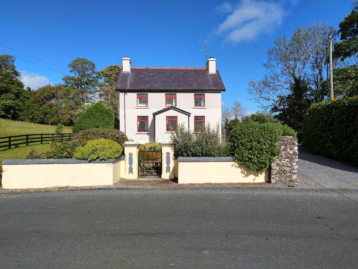 Enclosure in LisnarawerEnclosure · 214 yd
 Enclosure in Carrowkeel (tireragh By.)Enclosure · 320 yd
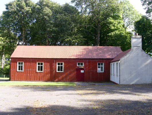 The Hallcommunity centre · 927 yd
 Carrowgarry Househouse · 1167 yd
 Giant's GraveArchaeological place · 1566 yd
 Bawn in Tanrego WestBawn · 1.1 mi
 European ashEuropean ash · 1.2 mi
 Bawn in Longford DemesneBawn · 1.3 mi
 Pigeonpark WoodForest · 1.4 mi
 Lahanacappul IslandIslet · 1.5 mi
 Ballinlig PointHeadland · 1.7 mi
 Portavaud PointHeadland · 1.8 mi