What is recorded here
Stone circles in County Derry are not decorative. They mark time, ceremony or boundary in landscapes where humans lived before written history. Ballybriest belongs to that older northern world, where stone was set deliberately and remembered without ink.
The official Northern Ireland record identifies this as STONE CIRCLE. Recorded period: PREHISTORIC. The official map point was placed at the centre of the recorded archaeological site from the source map reference.
Likely dating to the Neolithic or Bronze Age, this stone circle may have been used for ritual, astronomical observation, or as a communal gathering place. No specific folklore or detailed meaning is recorded for this site.
The monument record does not grant public access. Check the route and ask the landowner before entering private land.
- What survives
- Recorded monument
Places near here
 Lough FeaWalking route · 1560 yd
 ENCLOSURE: LIOS AINE in MobuyENCLOSURE: LIOS AINE · 1.9 mi
 Slieve GallionMountain / peak · 2.1 mi
 ENCLOSURE in CloughfinENCLOSURE · 2.5 mi
 Slieve Gallion NE TopMountain / peak · 3.1 mi
 St Columba's ChurchChurch · 3.2 mi
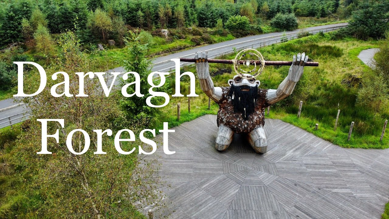 Davagh ForestForest · 3.7 mi
 Presbyterian ChurchChurch · 4.1 mi
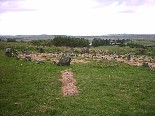 Beaghmore Stone CirclesVisitor information · 5.5 mi
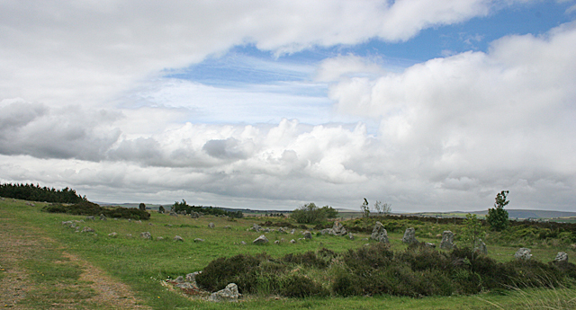 BeaghmoreArchaeological place · 5.6 mi
 Coltrim Picnic ParkPicnic place · 6.4 mi
 Drum Manor Forest ParkWood · 6.5 mi