What is recorded here
On level shoulder on N slopes of Maughanaclea hills, overlooking Owngar river valley. Circle complete; axial stone split, leans inwards. Stones are 0.7m to 0.9m L, 0.3m to 0.5m T and 0.4m to 0.85m H. Internal measurement along main axis, aligned ENE-WSW, is c. 2.5m. Standing stone (CO106-01402-) beside circle to SE.
The above description is derived from the published 'Archaeological Inventory of County Cork. Volume 1: West Cork' (Dublin: Stationery Office, 1992). In certain instances the entries have been revised and updated in the light of recent research.
Date of upload/revision: 14 January 2009
Likely dating to the Neolithic or Early Bronze Age, this stone circle may have had ceremonial or astronomical significance. The axial stone suggests alignment with solstitial events, common in prehistoric ritual landscapes.
The monument record does not grant public access. Check the route and ask the landowner before entering private land.
- What survives
- Recorded monument
Places near here
 St Finbarr's Pilgrim RouteWalking route · 303 yd
 CairnCairn, unclassified · 821 yd
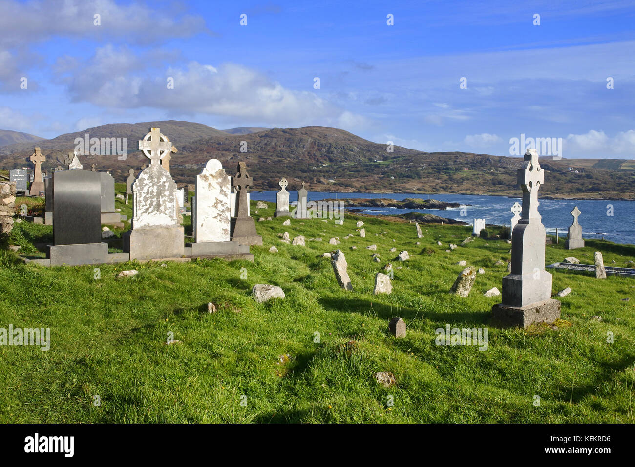 Burial Gd (Disused)Burial ground · 825 yd
 MillMill, fulling · 1.3 mi
 Carding MillMill, carding · 1.3 mi
 Kealkill stone circleVisitor information · 2.3 mi
 Carriganass CastleCastle · 2.6 mi
 KnockbreteenMountain / peak · 2.7 mi
 Mullach MéiseMountain / peak · 3.0 mi
 Castle Donovan (in Ruins)Castle, tower house · 4.4 mi
 Delish Cascade WalkWalking route · 5.3 mi
 Francis O'Neill PlaqueMemorial · 5.6 mi