What is recorded here
The official Northern Ireland record identifies this as STONE AND FENCE FIELD BOUNDARY EXTENSION. Recorded period: MODERN. The official map point was placed at the centre of the recorded archaeological site from the source map reference.
The monument record does not grant public access. Check the route and ask the landowner before entering private land.
- What survives
- Recorded monument
Places near here
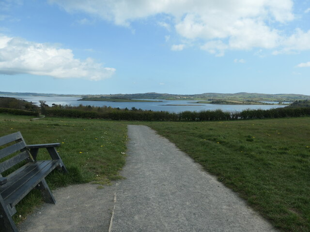 Kinneagar WoodWood · 961 yd
 Strangford WalkWalking route · 1083 yd
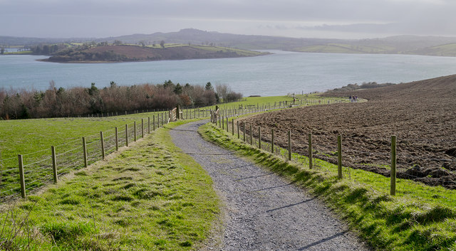 Delamont Country ParkVisitor information · 1166 yd
 Salt IslandIslet · 1280 yd
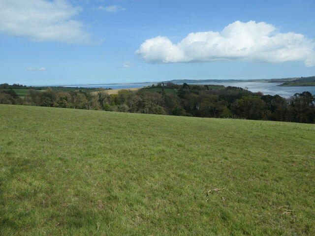 Nut WoodWood · 1322 yd
 Ringmore PointHeadland · 1.1 mi
 CASTLE: CASTLE WILLIAM in CorporationCASTLE: CASTLE WILLIAM · 1.1 mi
 ENCLOSURE? possibly natural in BallintogherENCLOSURE? possibly natural · 1.2 mi
 Ringmore BayBay · 1.2 mi
 ENCLOSURE in BallygallyENCLOSURE · 1.4 mi
 Green IslandIslet · 1.4 mi
 TOWER-HOUSE; BAWN and 2 C13th COFFIN LIDS: WALSHESTOWN CASTLE in WalshestownTOWER-HOUSE; BAWN and 2 C13th COFFIN LIDS: WALSHESTOWN CASTLE · 1.6 mi