What is recorded here
Standing Stones is a wedge tomb on a slight pasture rise near Lough Scur in County Leitrim, Ireland. Only the south wall and part of the west wall remain, set into a grass-covered mound, while displaced stones mark where the chamber once closed. The chamber may have held the dead of a local family, and the mound may have grown as later hands added soil and stone. What is missing has not stopped the place from speaking; it has taught it patience.
Situated on a slight rise in pasture in a broad E-W valley with the W end of Lough Scur c. 0.25km to the ENE. This is a rectangular structure (dims 7m E-W; c. 2.7m N-S) of which only the S and part of the W sides survive. It is composed of contiguous orthostats (max. dims 1.2m x 0.2m; H 0.5m) with some displaced stones (max. dims 1.5m x 1m) present. The stones are situated on a grass-covered mound (basal dims 17m E-W; 12.5m N-S; H 0.5m at E to 1m at N).
The above description is derived from 'The Archaeological Inventory of County Leitrim' compiled by Michael J. Moore (Dublin: Stationery Office, 2003). In certain instances the entries have been revised and updated in the light of recent research.
Date of upload: 23 September 2008
A rectangular stone structure, possibly a megalithic monument or early ritual enclosure, dating to the Neolithic or early Bronze Age; its alignment and location suggest ceremonial or funerary significance, though its exact function remains unclear.
The monument record does not grant public access. Check the route and ask the landowner before entering private land.
- What survives
- Recorded monument
Places near here
 bridgebridge · 325 yd
 IndicatedFairy fort / stone ringfort · 791 yd
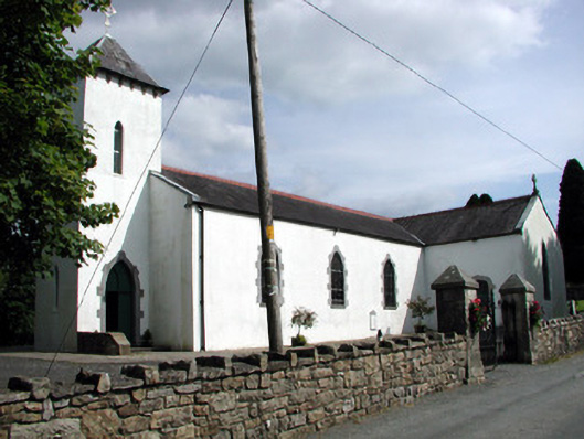 Saint Brigid's Catholic Churchchurch/chapel · 895 yd
 Enclosure in SheebegEnclosure · 1051 yd
 Rusheen IslandIslet · 1203 yd
 Castle JohnCastle · 1470 yd
 Small IslandIslet · 1505 yd
 Sheemore Ambush MemorialMonument · 2.4 mi
 CastleforeCastle, tower house · 2.6 mi
 Leabaidh DermotCave · 2.6 mi
 Shannon-Erne WaterwayVisitor information · 4.4 mi
 Rocking StoneNamed rock · 4.6 mi