What is recorded here
On level platform on steep NW-facing slope of narrow valley of Clodagh river. Row of three stones, aligned NE-SW, and 8.9m in overall length. NE stone is 0.9m L, 0.65m T and 1.2m H. Next and tallest stone, 2m to the SW, is 1.4m L, 0.8m T and 1.8m H. SW stone, 3.2m from last, is 1.25m L, 1.35m T and 1.7m H. OS 6-inch map (1842) depicts fourth stone to W of middle stone: this stone is not now present. Basal peat from test pit dug c. 5m N of row yielded a radiocarbon determination of 975 ± 45 bp (GrN-9282) (Lynch 1981, 111-3; O Nualláin 1988, 236, no. 42; Roberts 1988, Ch. 5, no. 41).
The above description is derived from the published 'Archaeological Inventory of County Cork. Volume 1: West Cork' (Dublin: Stationery Office, 1992). In certain instances the entries have been revised and updated in the light of recent research.
Date of upload/revision: 14 January 2009
Likely dating to the late Neolithic or early Bronze Age, the Cullenagh standing stones may have functioned as a ritual or ceremonial alignment, possibly linked to astronomical observations or territorial markers. No specific folklore is recorded, but such stone rows are often associated with funerary or ceremonial practices in prehistoric Ireland.
The monument record does not grant public access. Check the route and ask the landowner before entering private land.
- What survives
- Recorded monument
Places near here
 Pookeen North TopMountain / peak · 439 yd
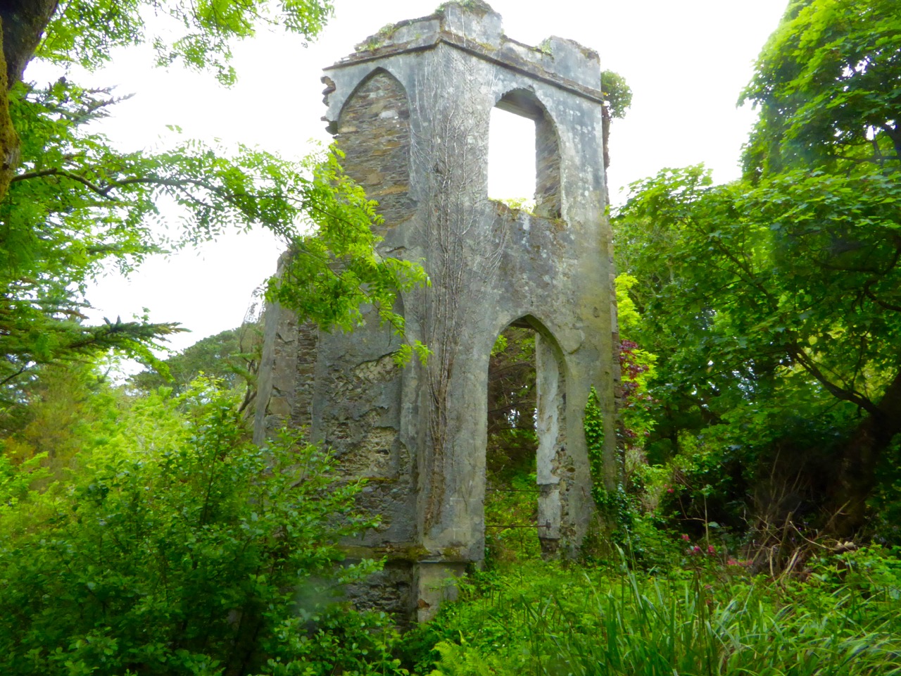 Enclosure in Cullenagh (carbery E. (w.d.) By.)Enclosure · 1125 yd
 Nowen HillMountain / peak · 1592 yd
 Clodagh Standing StonesArchaeological place · 1.4 mi
 Coolkellure Housecountry house · 1.7 mi
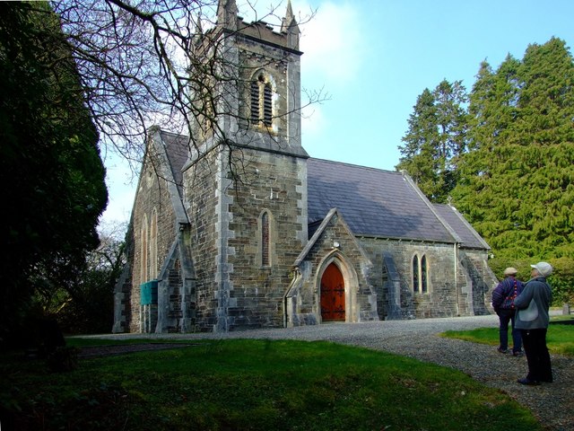 St. Edmund's Church of Ireland Churchchurch/chapel · 1.9 mi
 Castle Donovan (in Ruins)Castle, tower house · 3.0 mi
 Castle DonovanCastle · 3.0 mi
 Delish Cascade WalkWalking route · 3.1 mi
 Drimoleague Heritage Loop WalkWalking route · 3.9 mi
 Dunmanway Heritage CentreVisitor information · 4.8 mi
 Mohona WoodWood · 4.9 mi