What is recorded here
Stand behind the stone in Lisglass and watch the sky tilt. Whether it marked a boundary, a burial or a warning, people once believed the ground knew its own shape. The stone may have fallen, buried or vanished, but the act of pointing at it still lives in memory. Some places are remembered only through the gesture of remembering them.
The official Northern Ireland record identifies this as STANDING STONE (unlocated). Recorded period: PREHISTORIC; UNCERTAIN. The official map point was placed at the centre of the recorded archaeological site from the source map reference.
The monument record does not grant public access. Check the route and ask the landowner before entering private land.
- What survives
- Recorded monument
Places near here
 CROSS-CARVED STONE in LisglassCROSS-CARVED STONE · 214 yd
 Curryfree HillMountain / peak · 1.1 mi
 SlievekirkMountain / peak · 1.5 mi
 ENCLOSURE in ClondermotENCLOSURE · 1.8 mi
 Prehen WoodsForest · 3.0 mi
 Prehen HouseHouse · 3.0 mi
 Craigavon BridgeBridge · 3.5 mi
 Foyle Valley Railway MuseumMuseum · 3.5 mi
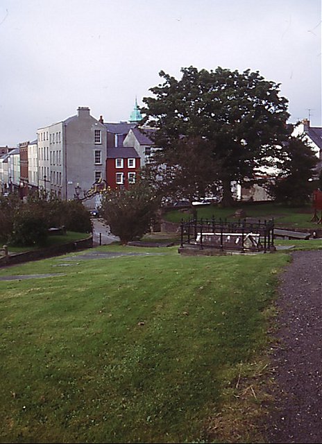 Cathedral viewViewpoint · 3.7 mi
 Church BastionViewpoint · 3.7 mi
 Siege Heroes MemorialMonument · 3.7 mi
 Brackfield BawnCastle · 3.8 mi