What is recorded here
No visible monument remains in Ballywilliam, County Down. A standing stone once rose there, but human hands may have buried it, broken it or simply stopped mentioning it. The land keeps the shape of what it lost, even when the stone itself has vanished.
The official Northern Ireland record identifies this as STANDING STONE (unlocated). Recorded period: UNCERTAIN. The official map point was placed at the centre of the recorded archaeological site from the source map reference.
The monument record does not grant public access. Check the route and ask the landowner before entering private land.
- What survives
- Recorded monument
Places near here
 RATH & ENCLOSURE (annexe?) in BallyminetraghRATH & ENCLOSURE (annexe?) · 1206 yd
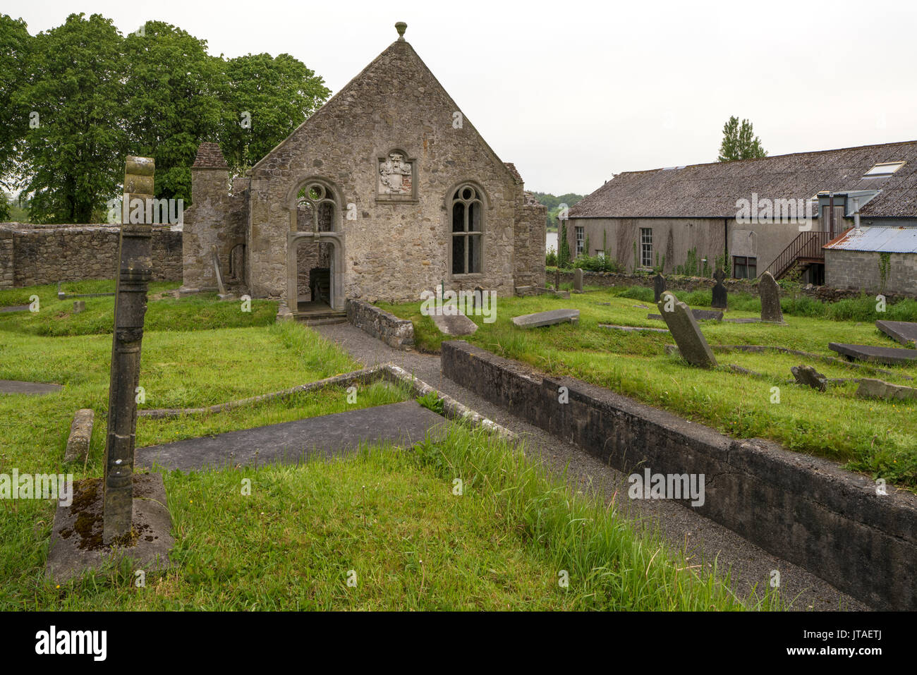 RATH & ENCLOSURES in BallyminetraghRATH & ENCLOSURES · 1431 yd
 Groomsport Parish ChurchChurch · 1.9 mi
_-_geograph.org.uk_-_3588298.jpg?width=1280) First Presbyterian ChurchChurch · 2.0 mi
First Presbyterian ChurchChurch · 2.0 mi North Down MuseumMuseum · 3.4 mi
 Bangor CastleCastle · 3.4 mi
 Lighthouse IslandIsland · 3.7 mi
 Skippingstone BeachBeach / strand · 3.9 mi
 Mew IslandIsland · 4.1 mi
 Brompton BayBeach / strand · 4.2 mi
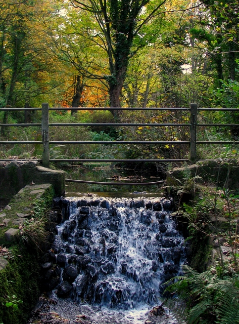 Stricklands GlenWood · 4.4 mi
 Somme Heritage CentreMuseum · 4.7 mi