What is recorded here
Uncertainty itself has weight. The stone may never have stood, may have fallen before memory learned to keep shape, or may still wait beneath soil that refuses to release it. What is known is that the region preserved enough to be named, and forgets enough to resist definition. That boundary between preservation and loss is the real monument.
The official Northern Ireland record identifies this as STANDING STONE (unlocated). Recorded period: PREHISTORIC; UNCERTAIN. The official map point was placed at the centre of the recorded archaeological site from the source map reference.
The monument record does not grant public access. Check the route and ask the landowner before entering private land.
- What survives
- Recorded monument
Places near here
 Carra CastleCastle · 386 yd
 A.P. SITEA.P. SITE, enclosure? · 678 yd
 Cushendun Parish ChurchHall · 913 yd
 Glendun HotelHotel · 1248 yd
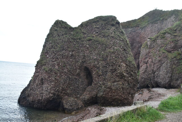 Caves of CushendunHeritage attraction · 1401 yd
 STONE ENCLOSURE in CorrymellaghSTONE ENCLOSURE · 1548 yd
 HOUSE: OLD CASTLE in LaydHOUSE: OLD CASTLE · 2.7 mi
 CarnanmoreMountain / peak · 3.6 mi
 The Glens of AntrimViewpoint · 3.7 mi
 Ballypatrick Forest Trails - 1 Cairn TrailWalking route · 4.0 mi
 Torr HeadViewpoint · 4.3 mi
 Ballypatrick ForestForest · 4.3 mi