What is recorded here
Gray stone still stands in Islandmoyle, marked as a prehistoric monument though no human hand is named for setting it. It may have watched herds, weather, or the arrival of boats along the coast. People likely passed it without wondering because it belonged to everyone and no one.
The official Northern Ireland record identifies this as STANDING STONE: THE GRAY STONE. Recorded period: UNCERTAIN; PREHISTORIC. Recorded protection: Scheduled. The official map point was placed at the centre of the recorded archaeological site from the source map reference.
Likely dating to the Neolithic or Bronze Age, the Gray Stone may have functioned as a territorial marker, ceremonial monument, or astronomical alignment feature. Local folklore sometimes associates such stones with ancient druidic practices or as sites of supernatural significance.
The monument record does not grant public access. Check the route and ask the landowner before entering private land.
- What survives
- Recorded monument
Places near here
 COUNTERSCARP RATH & POSSIBLE Man-made underground passage in KinghillCOUNTERSCARP RATH & POSSIBLE Man-made underground passage · 1.5 mi
 Kilcoo GraveyardWalking route · 1.5 mi
 Clonduff Presbyterian ChurchChurch · 1.6 mi
 ENCLOSURE in BallymoneyENCLOSURE · 1.6 mi
,_Ballyward_-_geograph.org.uk_-_2567804.jpg?width=1280) Drumgooland Parish ChurchChurch · 2.1 mi
Drumgooland Parish ChurchChurch · 2.1 mi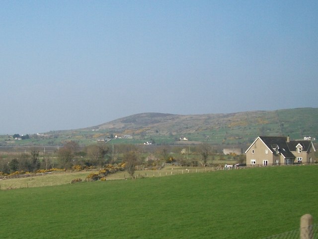 Tullynasoo MountainMountain / peak · 2.2 mi
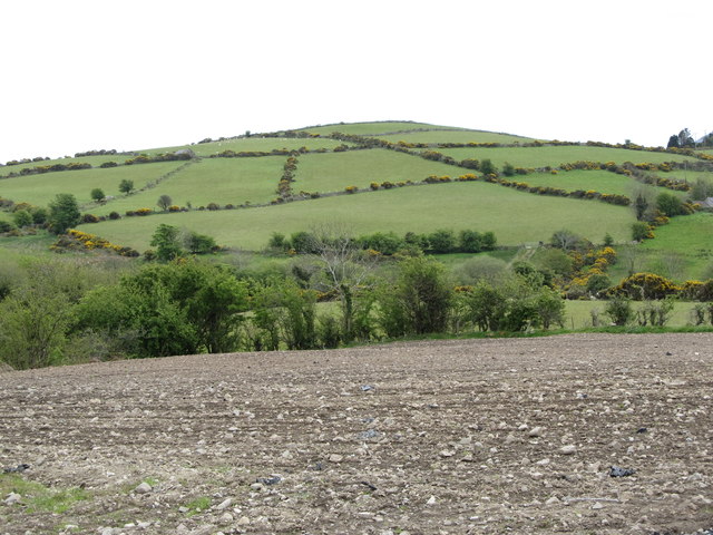 Carn HillMountain / peak · 2.3 mi
 The Brontë CentreVisitor information · 3.4 mi
 CASTLE & RATH reused as BAILEY: SEAFIN CASTLE; Magh Cobha; Moycove in SeafinCASTLE & RATH reused as BAILEY: SEAFIN CASTLE; Magh Cobha; Moycove · 3.5 mi
 CHURCH & GRAVEYARD: DRUMGOOLAND in DeehommedCHURCH & GRAVEYARD: DRUMGOOLAND · 3.5 mi
 Moorish TowerCastle · 3.5 mi
 The Moat PadWalking route · 3.9 mi