What is recorded here
Standing stones and circles still occupy Ballyrickard More, their unlocated status preserving the mystery of places known but never pinned. Prehistoric hands may have arranged them for ceremony, marker or memory, while later forgetting removed the exact address. The gap between knowledge and loss gives the stones their edge, inviting imagination to complete what record withheld.
The official Northern Ireland record identifies this as STANDING STONE & STONE CIRCLES (unlocated). Recorded period: PREHISTORIC. The official map point was placed at the centre of the recorded archaeological site from the source map reference.
Likely dating to the Neolithic or Bronze Age, such standing stones and stone circles were often used for ceremonial, astronomical, or communal gatherings. Their specific meaning or folklore remains unrecorded, but they may have held spiritual or social significance for early farming communities.
The monument record does not grant public access. Check the route and ask the landowner before entering private land.
- What survives
- Recorded monument
Places near here
 A.P. SITEA.P. SITE, enclosure · 915 yd
 ENCLOSURE in BallygowanENCLOSURE · 1040 yd
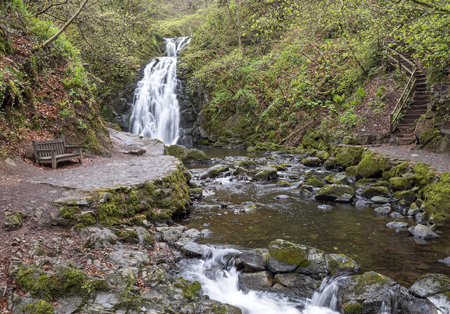 Glenoe WaterfallWaterfall · 1.9 mi
_-_geograph.org.uk_-_580056.jpg?width=1280) 6 Glenoe VillageHouse · 2.0 mi
6 Glenoe VillageHouse · 2.0 mi Kilwaughter CastleCastle · 2.5 mi
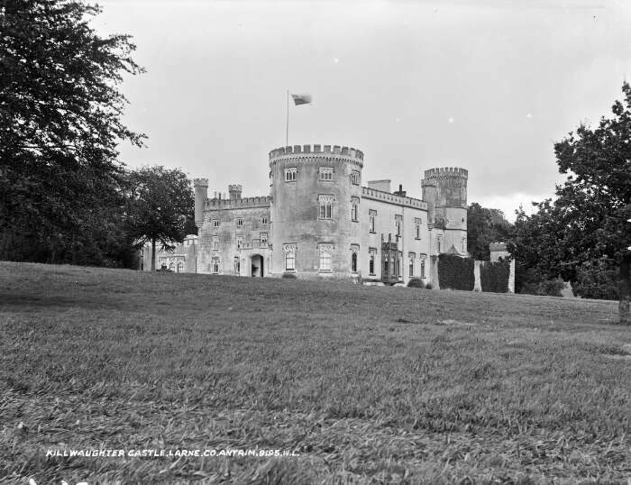 TOWER-HOUSE & BAWN: KILWAUGHTER CASTLE in DemesneTOWER-HOUSE & BAWN: KILWAUGHTER CASTLE · 2.5 mi
 Glynn Old ChurchRuins · 3.0 mi
 Larne War MemorialMemorial · 3.6 mi
 Ballyboley ForestForest · 3.7 mi
 North Carn ForestForest · 3.8 mi
 Swan IslandIslet · 3.9 mi
 MV Princess Victoria MemorialMemorial · 4.5 mi