What is recorded here
County Down, not Mayo, holds the vanished stone. The official record marks only an empty point where a prehistoric standing stone once rose, stripped before anyone wrote its name. Perhaps hammers broke it for wall build or road make, or men pulled it down because shadow and shape reminded them of what they wished forgotten. The hole remains visible in data but invisible on land, a ghost marker pointing at nothing.
The official Northern Ireland record identifies this as STANDING STONE (removed). Recorded period: UNCERTAIN; PREHISTORIC. The official map point was placed at the centre of the recorded archaeological site from the source map reference.
The monument record does not grant public access. Check the route and ask the landowner before entering private land.
- What survives
- Recorded monument
Places near here
 ENCLOSURE: LISDOO FORT in BallydulanyENCLOSURE: LISDOO FORT · 1.2 mi
 ENCLOSURE in BenaghENCLOSURE · 1.3 mi
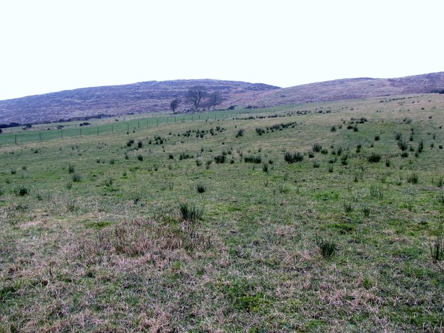 Slieve RoosleyMountain / peak · 3.0 mi
 Crown BridgeBridge · 3.2 mi
 Goin Back AreaCliff · 3.5 mi
 Ryans Presbyterian ChurchChurch · 3.5 mi
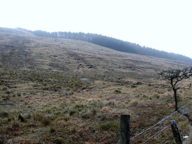 Crotlieve MountainMountain / peak · 3.5 mi
 Iron Hawk AreaCliff · 3.5 mi
 Ballymoney WoodForest · 3.9 mi
 Santas CottageHeritage attraction · 3.9 mi
 Yellow Water picnic sitePicnic place · 3.9 mi
 Greenbank TrailWalking route · 4.0 mi