What is recorded here
Within the Connemara National Park in an area of rough sheep-grazing land. This possible stone pair is incorporated into a stone field wall. The stones appear to define the ‘pier stones’ of a gateway and one of them may have been moved to its present position. This monument was brought to the attention of the Archaeological Survey of Ireland by Helen Riekstiņš.
Compiled by: Olive Alcock with information supplied by Helen Riekstiņš
Date of upload 30 November 2020
Date likely to the Late Neolithic or Early Bronze Age (c. 2500–1500 BCE). The stones may originally have marked a ritual or funerary passage, later repurposed as pier stones in a field boundary, reflecting the reuse of prehistoric monuments in later agricultural contexts.
The monument record does not grant public access. Check the route and ask the landowner before entering private land.
- What survives
- Recorded monument
Places near here
 Tober MweelinHoly well · 193 yd
 Ice Ho.Icehouse · 1171 yd
 BenbaunMountain / peak · 1258 yd
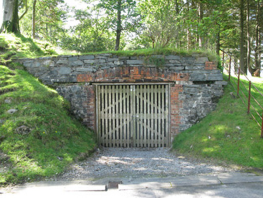 Kylemore Abbeyboathouse · 1312 yd
 Cnoc BreacMountain / peak · 1312 yd
 Monterey PineMonterey Pine · 1345 yd
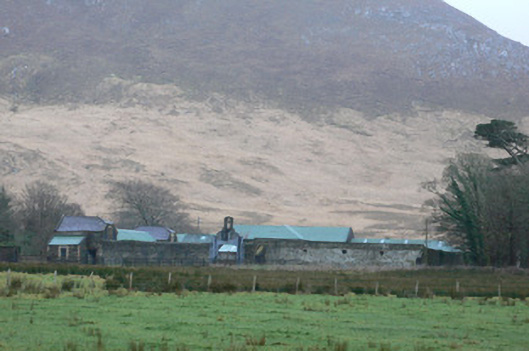 Kylemore Farm Housefarmyard complex · 1377 yd
 Cabbage treeCabbage tree · 1.5 mi
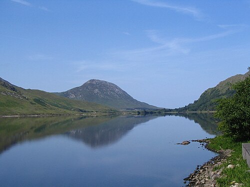 Binn GhuaireMountain / peak · 1.5 mi
 Connemara National ParkNational park · 2.7 mi
 Lettergesh BeachBeach / strand · 3.9 mi
 Glassilaun BeachBeach / strand · 4.3 mi