What is recorded here
On flatish portion of ridge with good views to E, S and W, the Devil's Glen and Irish Sea are visible in the distance to the E in the gap between the two stones. Aligned roughly N-S, with the N stone (H 1m; Wth 0.75m; T 0.75m) c. 1.7m away from the S stone (H 1.03m; 0.65m N-S; 0.55m E-W). Known as the 'Gossan stones' and 'Gossam stones'. (SMR file)
Compiled by: Claire Breen
Date of upload: 08 February 2013
Likely dating to the Bronze Age, the paired standing stones may have functioned as a ritual or ceremonial alignment, possibly marking a significant landscape feature or serving as a boundary marker. The positioning to frame a distant view of the Devil's Glen and Irish Sea suggests a symbolic or navigational purpose, potentially linked to local folklore or seasonal observations.
The monument record does not grant public access. Check the route and ask the landowner before entering private land.
- What survives
- Recorded monument
Places near here
 Native Woodland Trust: Paddock Hill ReserveWood · 626 yd
 Church in Laragh EastChurch · 1119 yd
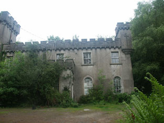 Laragh Castlebarracks · 1.3 mi
 Trinity Church (in Ruins), Cloigtheach (Site of)Church · 1.6 mi
 Stone CrossCross, Wayside cross · 1.7 mi
 Glendalough Visitor CentreMuseum · 1.8 mi
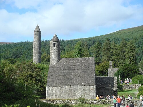 GlendaloughHeritage attraction · 1.8 mi
 ScarrMountain / peak · 2.0 mi
 Castle Kevin (in Ruins)Castle, motte and bailey · 2.4 mi
 Scarr North-West TopMountain / peak · 2.5 mi
 Poulanass WaterfallWaterfall · 2.8 mi
 Glenmacnass WaterfallWaterfall · 3.1 mi