What is recorded here
Two stones stand together in County Mayo, not one but a pair, preserving the shape of an old boundary or meeting place long after the people who marked it forgot the name. They may have guided herds through rain or gathered neighbours before roads existed, their flat faces worn smooth by generations of touch. The land around them has changed, but the stones remain upright, waiting for someone to remember why they were set.
The Archaeological Survey of Ireland (ASI) is in the process of providing information on all monuments on The Historic Environment Viewer (HEV). Currently the information for this record has not been uploaded. To access available information for research purposes please make an appointment in advance with the Archive Unit (open Fridays 10.00 am – 5.00 pm), Department of Housing, Local Government and Heritage, The Custom House, Dublin 1 D01W6XO or email NMarchive@housing.gov.ie.
The monument record does not grant public access. Check the route and ask the landowner before entering private land.
- What survives
- Recorded monument
Places near here
 IndicatedHoly well · 1256 yd
 NephinMountain / peak · 1.4 mi
 RaweedoonminnonFairy fort / earthen ringfort · 1.6 mi
 Ballyduffy CastleCastle, unclassified · 2.8 mi
 Titanic Memorial ParkMemorial · 3.1 mi
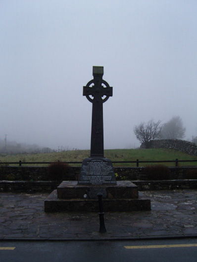 1798 Monumentmonument · 3.1 mi
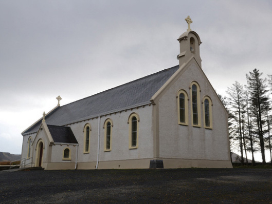 Catholic Church of the Holy Soulschurch/chapel · 3.3 mi
 RathmoreCastle, motte · 3.4 mi
 KnockaffertaghMountain / peak · 3.5 mi
 Grave of the KingsArchaeological place · 4.0 mi
 Bush IslandIslet · 4.5 mi
 Castle IslandIslet · 5.3 mi