What is recorded here
In upland area, on a lower SE slope of Slievenamon Mountain, in pasture. Extensive view E and S with the Comeragh Mountains in the distance from S-SW. A large red sandstone boulder with some pebble inclusions, aligned E-W. Roughly rectangular in plan (L 1.37m x Wth 0.52m; H 1.4m) with broad faces to the N and S, it narrows slightly as it rises (Wth 0.2-0.48m). Some fractures evident. N face is very irregular, having suffered much spawling. The ground around the base of stone has been poached by cattle, creating a hollow. The stone rises slightly higher at the W end, but this may be a result of how the stone has fractured and broken. There is a thin seam of quartz towards the base at the E end of the S face.
Compiled by: Jean Farrelly
Date of upload: 14 November 2016
The monument record does not grant public access. Check the route and ask the landowner before entering private land.
- What survives
- Recorded monument
Places near here
 Saint John's Catholic Churchchurch/chapel · 785 yd
 Font (present location) in Toor (kilcash Par.)Font (present location) · 788 yd
 Carrigaloe RockNamed rock · 1114 yd
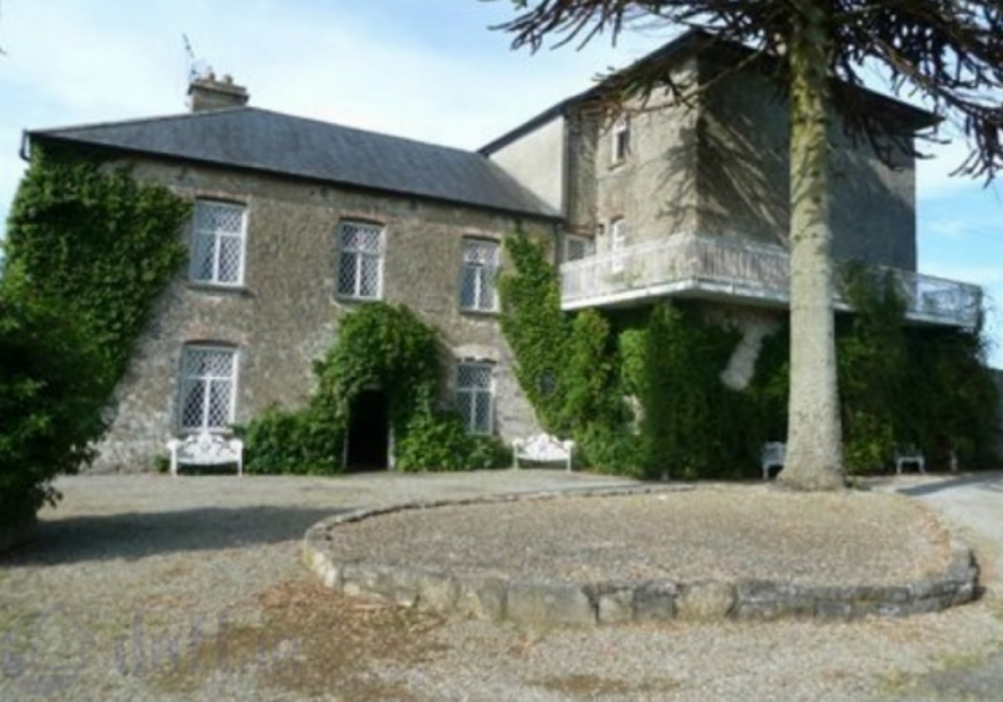 Enclosure in KnockrathkellyEnclosure · 1564 yd
 Kilcash Church (in ruins)Church · 1.0 mi
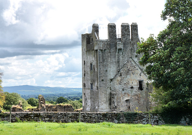 Bawn in KilcashBawn · 1.0 mi
 Kilcash Castle (in ruins)Castle, tower house · 1.0 mi
 Kilcash WoodForest · 1.3 mi
 SlievenamonMountain / peak · 1.7 mi
 SheegounaMountain / peak · 1.9 mi
 Thomas KielyMemorial · 3.7 mi
 Garden of RenewalNature reserve · 3.9 mi