What is recorded here
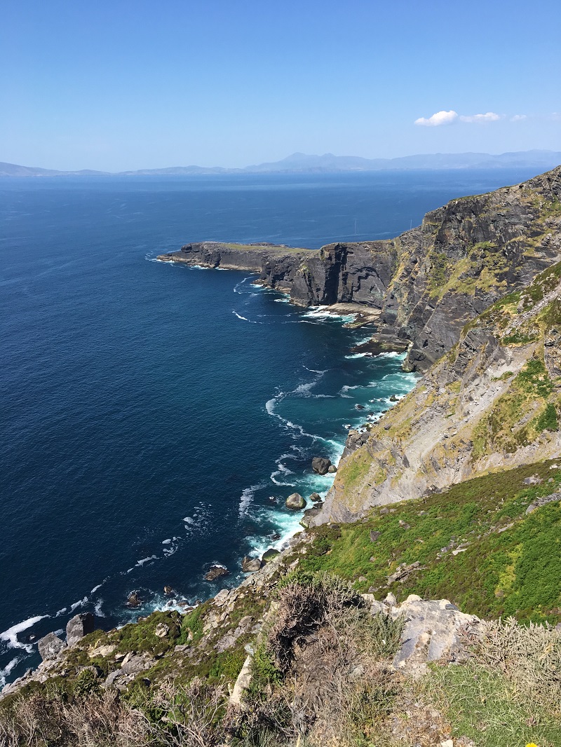
Miskish Mountain and Knockgour bend around a narrow saddle where a thin rectangular stone still points east-northeast. It rises less than a metre above the ground, yet it sits sixteen and a half metres north of a wedge tomb, as if marking the entrance to a older house of the dead. The view runs southwest across West Cork, suggesting the stone was set where people could see far, remember far, and place the dead within a landscape they still recognised.
In saddle between Miskish Mountain and Knockgour with view to SW. Wedge tomb (CO114-035002-) 16.5m to S. Rectangular stone aligned ENE-WSW (H 0.98m; 1.04m x 0.12m).
The above description is derived from the published 'Archaeological Inventory of County Cork. Volume 1: West Cork' (Dublin: Stationery Office, 1992). In certain instances the entries have been revised and updated in the light of recent research.
Date of upload/revision: 14 January 2009
The monument record does not grant public access. Check the route and ask the landowner before entering private land.
- What survives
- Recorded monument
Places near here
 Burial in Commons West (bear By.)Burial · 442 yd
 RoadRoad, road/trackway · 525 yd
 Hut site in Commons West (bear By.)Hut site · 663 yd
 Miskish MountainMountain / peak · 1601 yd
 IndicatedRoad, road/trackway · 1.3 mi
 KnockgourMountain / peak · 1.8 mi
 Wild Atlantic WayVisitor information · 1.8 mi
 GourViewpoint · 1.9 mi
 Pallas StrandBeach / strand · 2.2 mi
 Castle (in Ruins)Castle, tower house · 2.4 mi
 Sarah Walker GalleryGallery · 2.4 mi
 Siege of Dunboysiege · 2.4 mi