What is recorded here
Situated in dense forestry towards the top of a S-facing slope on Mullyash Mountain. The stone is broken into two pieces (piece 1: L c. 2.2m; Wth 2.2m; T at N end 0.6m; piece 2: L c. 0.65m; Wth 0.85m; T 0.6m), and is now recumbent with a flat face of the stone visible. The stone is tapered at both ends and modern graffiti are on the upper face. The stone had a role in the Lughnasa celebrations centred on the passage tomb (MO015-007----), which is on the summit of the ridge c. 850m to the NNW (MacNeill 1962, 161-3). A long stone in Mullyash Plantation 'that had the footprint of a giant marked on it’ was noted in folk tradition (IFC Schools MSS: (942) 158; (943) 274), for which see this web-page accessed on 11/06/2018: https://www.duchas.ie/en/cbes Such a mark is not visible on the upper surfaces now. The folk tradition also recorded that Fionn MacCumhaill threw it the length of a field (ibid. 943, 274).
Compiled by: Claire Breen
Revised by: Michael Moore
Date of revised upload: 22 June 2017
Likely dating to the Neolithic or Bronze Age, this standing stone may have once formed part of a ritual or funerary landscape. Its fragmented state and mountain location suggest possible ceremonial use or alignment with landscape features, though specific folklore or meaning is not recorded.
The monument record does not grant public access. Check the route and ask the landowner before entering private land.
- What survives
- Recorded monument
Places near here
 MullavashPassage tomb · 911 yd
 Mullyash MountainMountain / peak · 1165 yd
 Garmany's Grove Presbyterian Churchchurch/chapel · 1.4 mi
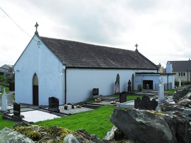 Saint Patrick's Catholic Churchchurch/chapel · 1.8 mi
 Tullyvallen Orange Hall massacremassacre · 2.1 mi
 MEGALITHIC TOMB: THE GIANT'S GRAVE in AughnagurganMEGALITHIC TOMB: THE GIANT'S GRAVE · 2.2 mi
 Monaghan WayWalking route · 3.2 mi
 Harper's IslandIslet · 3.5 mi
 Garmany's IslandIslet · 3.5 mi
 John Francis GreenMemorial · 3.8 mi
 Dairy HillMountain / peak · 3.8 mi
 Lough MucknoLake and park landscape · 3.9 mi