What is recorded here
Slievenisky holds one standing stone, old enough that no human hand may have set it, though local memory often claims otherwise. The rock remains visible beside the road, marking a place where people walked, watched weather, or buried what they could not carry further. Its age resists exact answer, but its presence does not.
The official Northern Ireland record identifies this as STANDING STONE. Recorded period: UNCERTAIN; PREHISTORIC. The official map point was placed at the centre of the recorded archaeological site from the source map reference.
Likely dating to the Neolithic or Bronze Age, this standing stone may have served a ceremonial, astronomical, or territorial function. No specific folklore or detailed meaning is recorded for this site.
The monument record does not grant public access. Check the route and ask the landowner before entering private land.
- What survives
- Recorded monument
Places near here
 Backaderry WoodForest · 648 yd
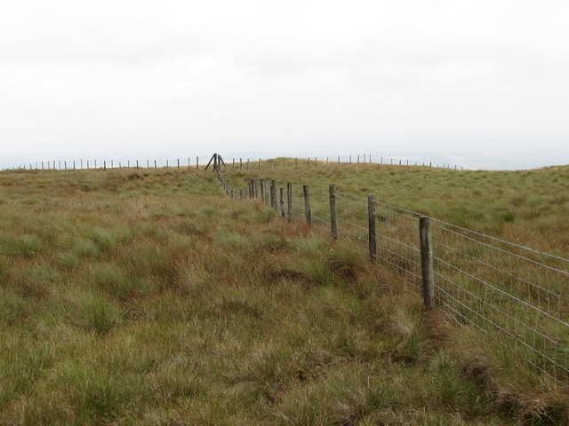 SlieveniskyMountain / peak · 1332 yd
 ENCLOSURE in BackaderryENCLOSURE · 1.3 mi
 Legananny Cross StoneMonument · 1.3 mi
 Slieve CroobMountain / peak · 1.4 mi
 Slieve Croob Transmitter Road walkWalking route · 1.7 mi
 SpinkaneeCliff · 2.2 mi
 Pass LoaningWalking route · 2.4 mi
 Clarkhill WoodForest · 2.7 mi
 Tea HouseCastle · 3.5 mi
 The Annesley Walled GardenVisitor information · 3.9 mi
 Moorish TowerCastle · 3.9 mi