What is recorded here
Sheheree in County Kerry holds a small upright stone inside the southeast quadrant of an ancient rath. The rectangular stone stands forty-eight centimetres tall, pointing east-northeast and west-southwest while another stone waits farther north. People may have set them there to mark a boundary, honour a dead person or simply watch the sky tilt across the grass.
In the SE quadrant of a rath (KE067-101----). An upright stone (dims. 0.45m x 0.28m; H 0.48m) roughly rectangular in plan and orientated ENE-WSW. Another standing stone (KE067-101001-) lies a short distance to the N.
Compiled by: Elizabeth Byrne, Ursula Egan and Sheila Ronan, Archaeological Survey Unit, University College, Cork.
Date of upload: 31 January 2011
Probably dating to the Early Christian or Bronze Age period, the stone may have had ritual or territorial significance, possibly linked to the nearby rath. Its orientation and placement suggest it could be part of a wider ceremonial or funerary landscape.
The monument record does not grant public access. Check the route and ask the landowner before entering private land.
- What survives
- Recorded monument
Places near here
 Sheheree Bog Nature ReserveNature reserve · 693 yd
 IndicatedFairy fort / earthen ringfort · 709 yd
 Fairy fort / earthen ringfort in FaghbaneFairy fort / earthen ringfort · 753 yd
 Religious houseReligious house, Franciscan friars · 887 yd
 Flesk CastleCastle · 1319 yd
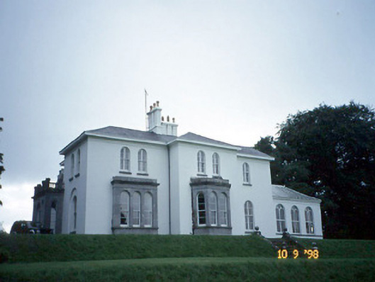 Coolclogher Housecountry house · 1571 yd
 The Blue PoolGallery · 1.2 mi
 McCarthy Mor CastleCastle · 1.3 mi
 Lissivigeen Stone CircleHeritage attraction · 1.3 mi
 Blue Pool Nature ReserveWood · 1.3 mi
 Mass RockNamed rock · 1.4 mi
 Castlelough BayBay · 1.6 mi